Côte-Vertu Boulevard, Montreal
Map

Map

Facts and practical information
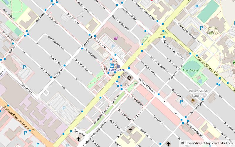
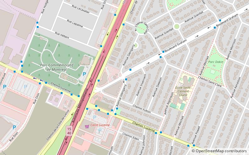
Côte-Vertu Boulevard is a boulevard in the Saint-Laurent borough in Montreal, Quebec. It crosses the borough from north-east to south-west of the Air Canada Technical Center to the west of the Chomedey Highway Autoroute 13 to the Laurentian Autoroute 15 where it takes the name of Sauvé Street. The section inside the city of Dorval has remained under the name Côte-Vertu Road. ()
Address
Saint-Laurent (Norvick)Montreal
ContactAdd
Social media
Add
Day trips
Côte-Vertu Boulevard – popular in the area (distance from the attraction)
Nearby attractions include: Place Vertu, Décarie Interchange, Norgate shopping centre, Greater Montreal.
Frequently Asked Questions (FAQ)
How to get to Côte-Vertu Boulevard by public transport?
The nearest stations to Côte-Vertu Boulevard:
Bus
Metro
Bus
- Station Côte-Vertu • Lines: 121-E, 121-O, 128-N, 128-S, 17-N, 17-S, 170-N, 170-S, 171-E, 171-O, 174-E, 174-O, 177-E, 177-O, 213-E, 213-O, 215-E, 215-O, 216-E, 216-O, 225-E, 225-O, 64-N, 64-S, 70-E, 70-O, 72-E, 72-O (1 min walk)
- Terminus Côte-Vertu (1 min walk)
Metro
- Côte-Vertu • Lines: 2 (1 min walk)
- Du Collège • Lines: 2 (17 min walk)

 Metro
Metro


