Queen City Yacht Club, Toronto
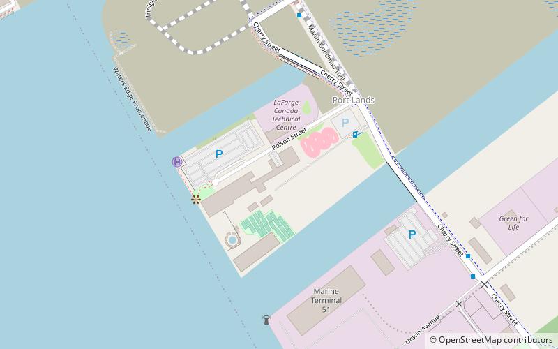
Map
Facts and practical information
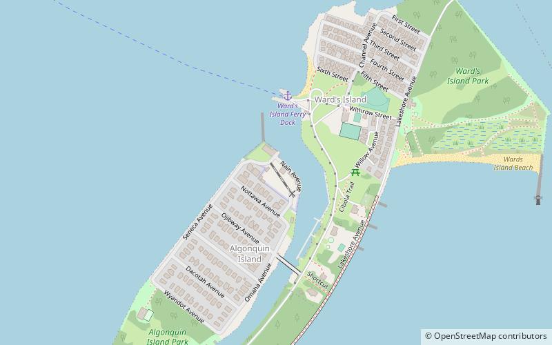
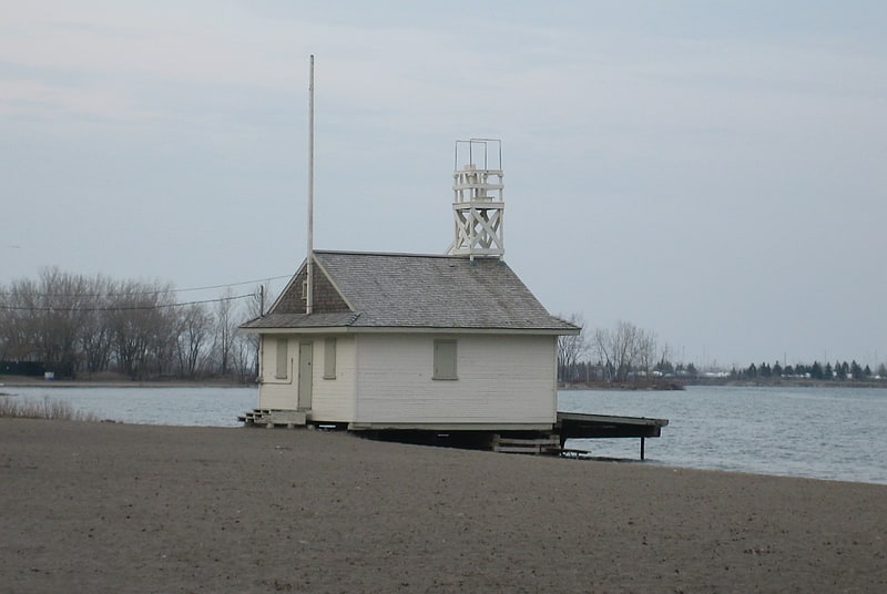
The Queen City Yacht Club is a maritime-themed club based in Toronto, Ontario. It is located on Algonquin Island in the Toronto Islands, and has been a part of Toronto's sailing community since it was founded in 1889. Toronto at the time was known as the "Queen City of the Lake". The original clubhouse was located on the city side of Toronto Harbour, at the foot of York Street. ()
Coordinates: 43°37'47"N, 79°21'29"W
Getting there by public transportation
Public transportation stops near this location
- Metro
- Bus
- Tram
- Train
- Ferry
 Metro
Metro
- Calculate routeWard's Island 4 min walk
- Calculate routeJack Layton Ferry Terminal 29 min walk
- Calculate routeCentre Island 29 min walk
- Calculate routeLower Jarvis Street 29 min walk
- Calculate routeRichardson Street 29 min walk
- Calculate routeQueens Quay East 30 min walk
- Calculate routeFreeland Street 30 min walk
- Calculate routeQueens Quay - Island Ferry Docks 32 min walk
- Calculate routeHarbourfront Centre 35 min walk
- Calculate routeUnion Station 39 min walk
- Calculate routeToronto Union Station 39 min walk
- Calculate routeUnion 40 min walk
Maps SubwayMaps
 Streetcar systemMaps
 PATH
PATH
SubwayMapsStreetcar systemMapsPATHDay trips


Frequently Asked Questions (FAQ)
Which popular attractions are close to Queen City Yacht Club?
Nearby attractions include Port of Toronto, Toronto (18 min walk), Toronto Harbour, Toronto (20 min walk), Cherry Beach, Toronto (23 min walk), Cherry Street Strauss Trunnion Bascule Bridge, Toronto (24 min walk).
How to get to Queen City Yacht Club by public transport?
The nearest stations to Queen City Yacht Club:
Ferry
Bus
Tram
Train
Metro
Ferry
- Ward's Island • Lines: Ward's Island (4 min walk)
- Jack Layton Ferry Terminal • Lines: Toronto Island Ferry, Ward's Island (29 min walk)
Bus
- Lower Jarvis Street • Lines: 19 (29 min walk)
- Richardson Street • Lines: 19, 75 (29 min walk)
Tram
- Queens Quay - Island Ferry Docks • Lines: 509, 510A (32 min walk)
- Harbourfront Centre • Lines: 509, 510A (35 min walk)
Train
- Toronto Union Station (39 min walk)
Metro
- Union • Lines: 1 (40 min walk)