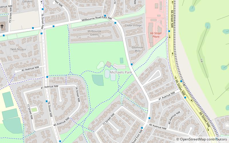
Michaels Park, Edmonton
Map
Facts and practical information
Michaels Park is a residential neighbourhood in the Millbourne community of Mill Woods in south east Edmonton, Alberta, Canada. The neighbourhood is named for John "Mike" Michaels, best known for being Edmonton's preeminent news stand operator - "Mike's News Stand" - which he opened in 1912 upon immigrating to Edmonton from New York. In 1913 he founded the Edmonton Newsboys' Band in an effort to keep his newsboys, often school drop-outs, out of trouble. The band gained international recognition, performing throughout the United States, Canada, and England. John Michaels was also "involved in community service for 50 years and was best known for his promotion of aviation and the north country." ()
Area: 205.1 acres (0.3205 mi²)Coordinates: 53°28'45"N, 113°26'49"W
Getting there by public transportation
Public transportation stops near this location
- Bus
 Bus
Bus
- Calculate routeMillgate Transit Centre 13 min walk
Day trips


Frequently Asked Questions (FAQ)
Which popular attractions are close to Michaels Park?
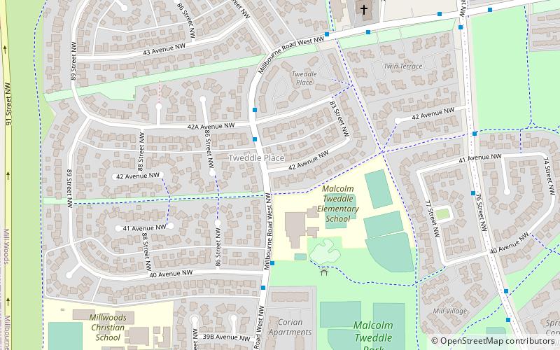
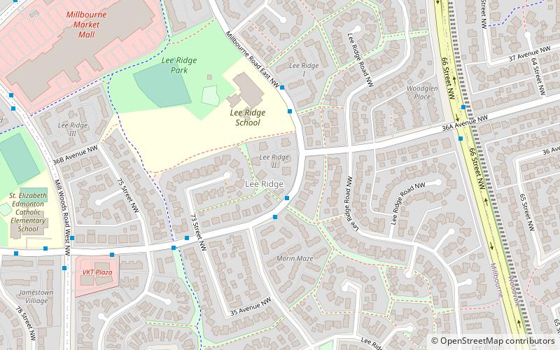
Nearby attractions include Tweddle Place, Edmonton (12 min walk), Edmonton—Mill Woods—Beaumont, Edmonton (15 min walk), Lee Ridge, Edmonton (18 min walk), Firefly Theatre and Circus, Edmonton (18 min walk).
How to get to Michaels Park by public transport?
The nearest stations to Michaels Park:
Bus
Bus
- Millgate Transit Centre (13 min walk)