Indian Battle Park, Lethbridge
Map
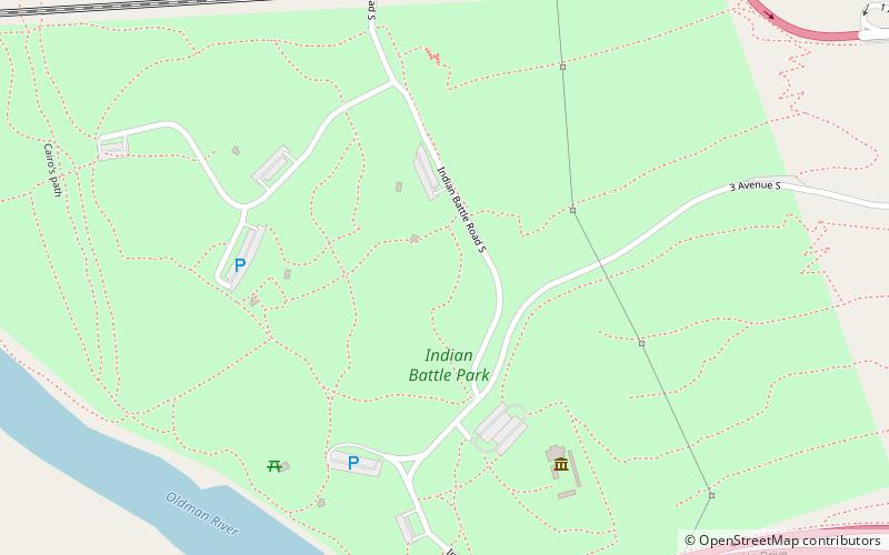
Map

Facts and practical information
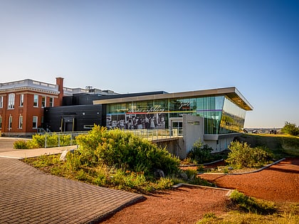
Indian Battle Park is a park located in the Oldman River valley urban park system of Lethbridge, Alberta. The 150-acre park was developed in 1960 and commemorates the Battle of the Belly River held in the area on 24 October 1870 between the Blackfoot and the Cree. A formal peace treaty between the two nations was reached in 1871. ()
Opened: 1960 (66 years ago)Elevation: 2720 ft a.s.l.Coordinates: 49°41'39"N, 112°51'32"W
Day trips
Indian Battle Park – popular in the area (distance from the attraction)
Nearby attractions include: Galt Museum & Archives, Park Place Mall, Fort Whoop-Up, Lethbridge Viaduct.
Frequently Asked Questions (FAQ)
Which popular attractions are close to Indian Battle Park?
Nearby attractions include Oldman River valley parks system, Lethbridge (4 min walk), Fort Whoop-Up, Lethbridge (5 min walk), Lethbridge Viaduct, Lethbridge (8 min walk), Helen Schuler Nature Centre, Lethbridge (14 min walk).

