Lethbridge Viaduct, Lethbridge
Map

Map

Facts and practical information
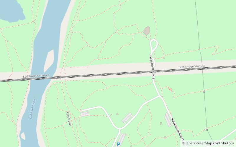
The Lethbridge Viaduct, commonly known as the High Level Bridge, was constructed between 1907 and 1909 at Lethbridge, Alberta, Canada at a cost of $1,334,525. ()
Alternative names: Opened: 1909 (117 years ago)Length: 5328 ftWidth: 107 ftHeight: 314 ftCoordinates: 49°41'52"N, 112°51'47"W
Address
River Valley NorthLethbridge
ContactAdd
Social media
Add
Day trips
Lethbridge Viaduct – popular in the area (distance from the attraction)
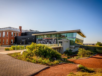
Nearby attractions include: Galt Museum & Archives, Park Place Mall, Fort Whoop-Up, Indian Battle Park.
Frequently Asked Questions (FAQ)
Which popular attractions are close to Lethbridge Viaduct?
Nearby attractions include Oldman River valley parks system, Lethbridge (5 min walk), Indian Battle Park, Lethbridge (8 min walk), Helen Schuler Nature Centre, Lethbridge (9 min walk), Fort Whoop-Up, Lethbridge (13 min walk).


