Oldman River valley parks system, Lethbridge
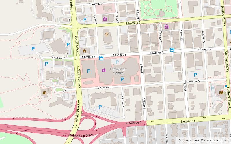
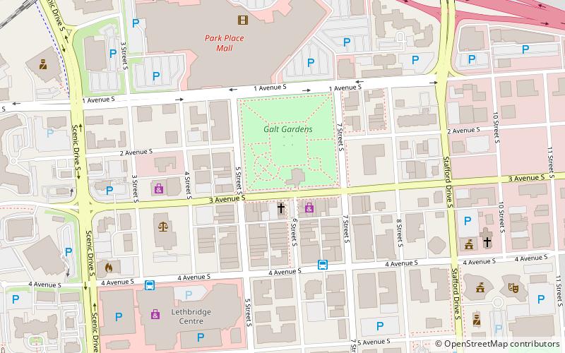
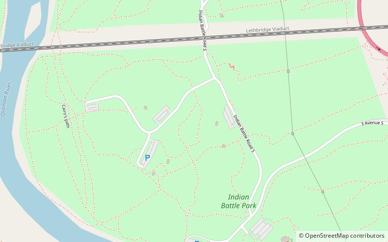
Map
Gallery
Facts and practical information
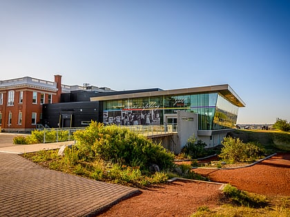
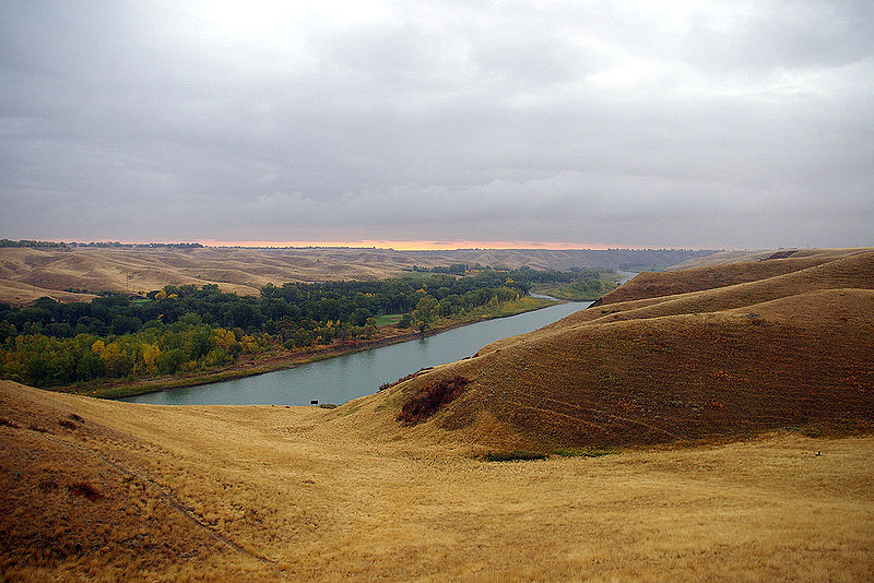
The Oldman River valley parks system is a continuous collection of eight urban parks in the Oldman River valley of Lethbridge, Alberta, 100 metres below the prairie level. The parks were created in the 1980s as part of the city's Urban Parks Project. Today they are a combined 16 square kilometres in size and comprise one of the largest urban park systems in North America, and the third largest in Canada. ()
Elevation: 2710 ft a.s.l.Coordinates: 49°41'44"N, 112°51'39"W
Address
River Valley SouthLethbridge
ContactAdd
Social media
Add
Day trips
Oldman River valley parks system – popular in the area (distance from the attraction)
Nearby attractions include: Galt Museum & Archives, Park Place Mall, Fort Whoop-Up, Lethbridge Viaduct.
Frequently Asked Questions (FAQ)
Which popular attractions are close to Oldman River valley parks system?
Nearby attractions include Indian Battle Park, Lethbridge (4 min walk), Lethbridge Viaduct, Lethbridge (5 min walk), Fort Whoop-Up, Lethbridge (8 min walk), Helen Schuler Nature Centre, Lethbridge (12 min walk).

