Lelu Island, Prince Rupert
Map

Map

Facts and practical information
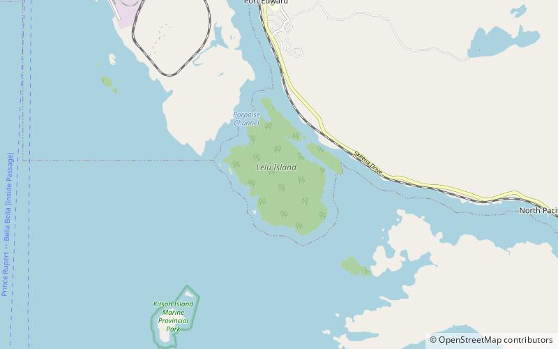
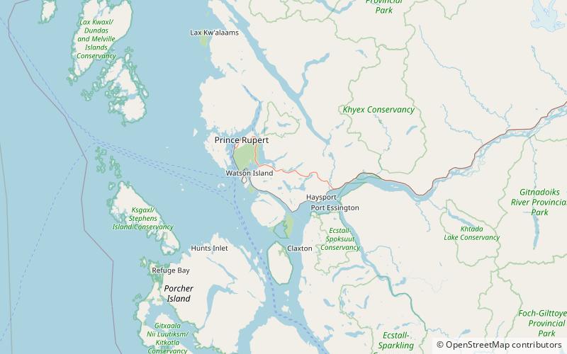
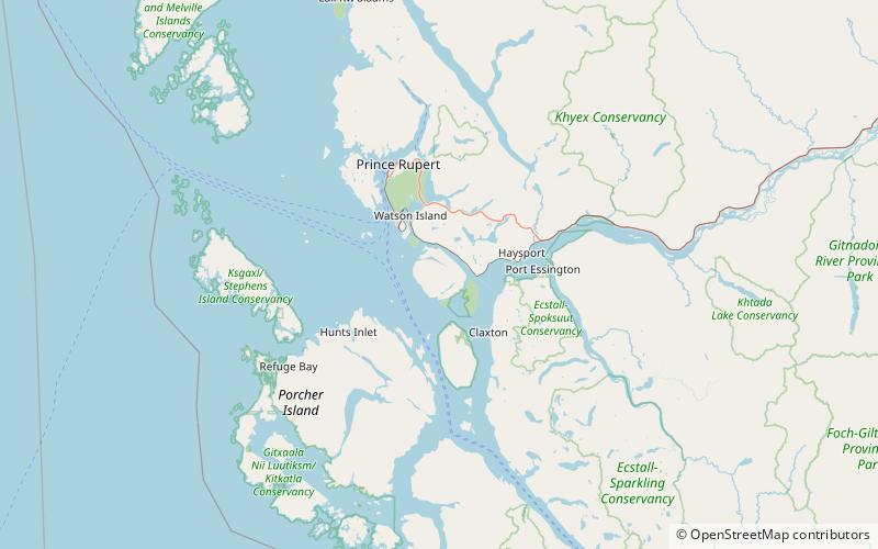
Lelu Island is an island of the Range 5 Coast Land District, of British Columbia, Canada, located in the Skeena Estuary between Smith and Ridley Islands. Historically it has been inhabited by area First Nations. Immediately southwest and associated with the island is the Flora Bank, a unique geomorphic feature supporting a critical fish habitat. ()
Coordinates: 54°11'59"N, 130°17'20"W
Address
Prince Rupert
ContactAdd
Social media
Add
Day trips
Lelu Island – popular in the area (distance from the attraction)
Nearby attractions include: North Pacific Cannery, Diana Lake Provincial Park, Smith Island.


