Diana Lake Provincial Park

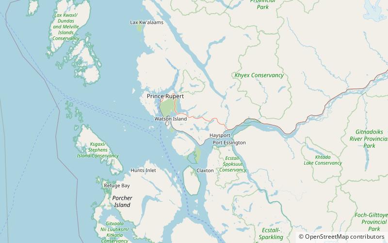
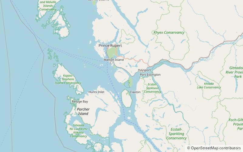
Map
Facts and practical information
Diana Lake Provincial Park is a 233 hectares provincial park located 16 kilometres east of the city of Prince Rupert in the North Coast Regional District of British Columbia, Canada. The park was established by BC Parks in 1980. ()
Created: 1980Elevation: 157 ft a.s.l.Coordinates: 54°13'41"N, 130°9'43"W
Day trips
Diana Lake Provincial Park – popular in the area (distance from the attraction)
Nearby attractions include: North Pacific Cannery, Smith Island, Lelu Island.


