Smith Island, Prince Rupert

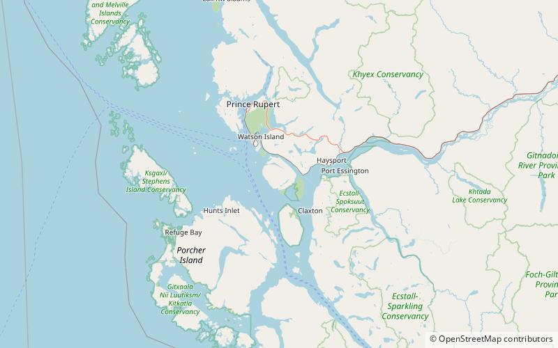
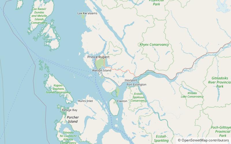
Map
Facts and practical information
Smith Island is an island just north of the mouth of the Skeena River in the North Coast region of British Columbia, Canada. To the south of the island is Marcus Passage. To the north is Inverness Passage, separating Smith Island from the Tsimpsean Peninsula. Eleanor Passage, connects Osborn Point, the most eastern point on the island, with the mouth of the Skeena River. De Horsey Passage separates De Horsey Island from Smith Island on the latter's east side. Croasdaile Island is to the south of the southern tip of Smith Island. ()
Coordinates: 54°9'3"N, 130°13'26"W
Address
Prince Rupert
ContactAdd
Social media
Add
Day trips
Smith Island – popular in the area (distance from the attraction)
Nearby attractions include: North Pacific Cannery, Diana Lake Provincial Park, Lelu Island.


