Fallingbrook, Ottawa
Map
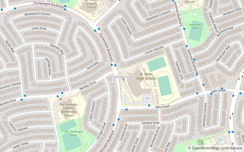
Map

Facts and practical information
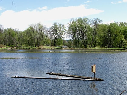
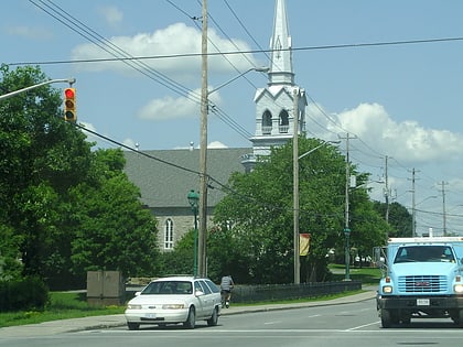
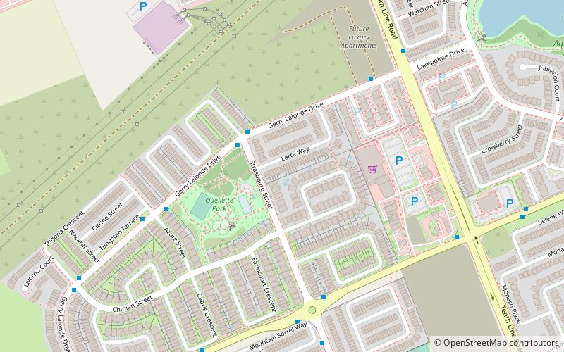
Fallingbrook is a neighbourhood in the community of Orleans, a suburb in the city of Ottawa, Ontario, Canada. It is located on the east edge of Orleans and is bounded by Tenth Line Road in the west, St. Joseph Boulevard to the north, Trim Road to the east and Innes Road to the south. Below the community of Fallingbrook flows the Ottawa River, and Petrie Island is the closest beach. ()
Coordinates: 45°28'31"N, 75°28'40"W
Address
FallingbrookOttawa
ContactAdd
Social media
Add
Day trips
Fallingbrook – popular in the area (distance from the attraction)
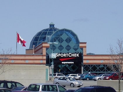
Nearby attractions include: Place d'Orléans, Vintage Wings of Canada, Petrie Island Beach, Oziles' Marina and Tackle shop.
Frequently Asked Questions (FAQ)
How to get to Fallingbrook by public transport?
The nearest stations to Fallingbrook:
Bus
Bus
- Charlemagne / Merkley • Lines: 131, 235, 35 (2 min walk)
- Charlemagne / Valin • Lines: 131 (5 min walk)

