Central Moncton, Moncton
Map
Map

Facts and practical information
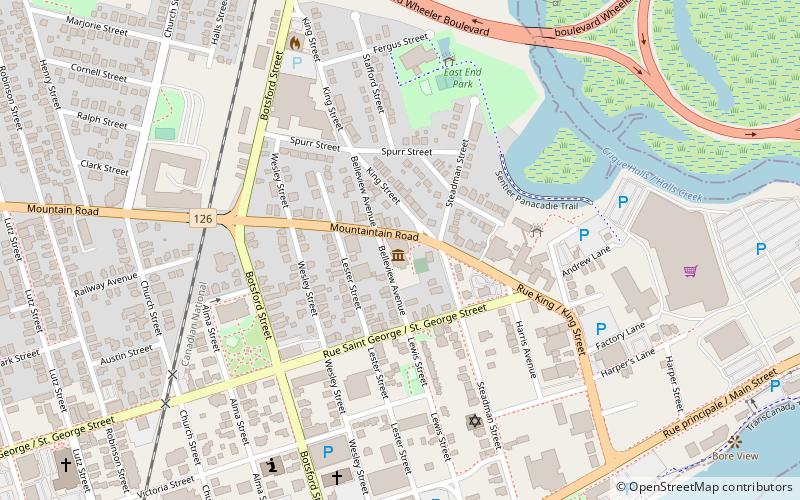
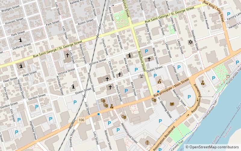
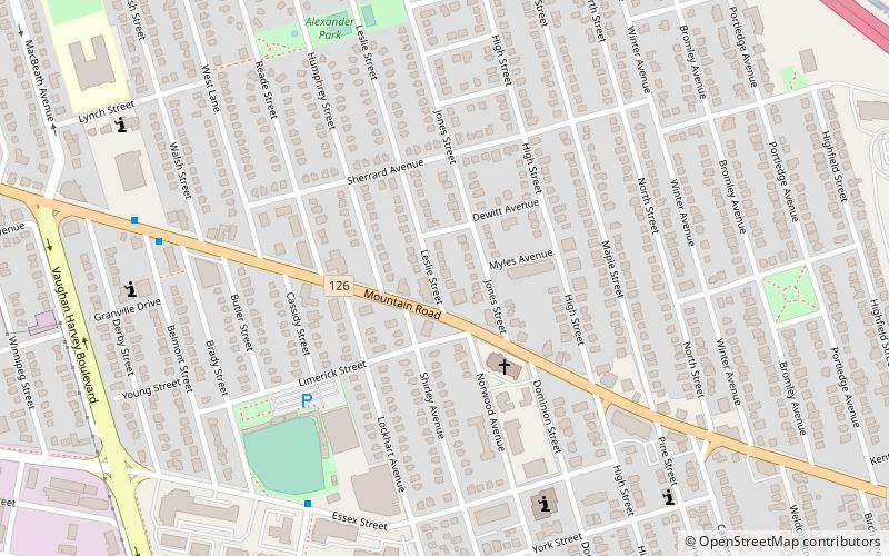
Central Moncton is a neighbourhood in Moncton, New Brunswick. Its boundaries include Vaughan Harvey to the West, Connaught Ave and Wheeler Blvd to the North and Botsford Street to the East with John St and Mountain Road to the south. ()
Coordinates: 46°5'54"N, 64°47'49"W
Address
Central MonctonMoncton
ContactAdd
Social media
Add
Day trips
Central Moncton – popular in the area (distance from the attraction)
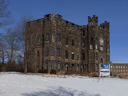
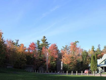
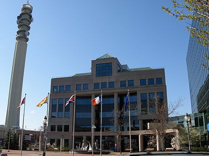
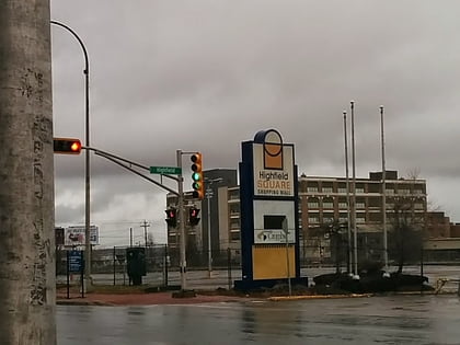
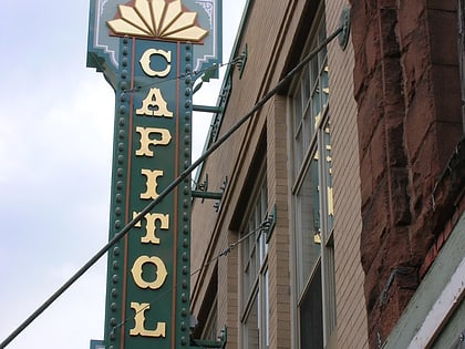
Nearby attractions include: Camp Centennial, Moncton City Council, Highfield Square, Capitol Theatre.
Frequently Asked Questions (FAQ)
Which popular attractions are close to Central Moncton?
Nearby attractions include Oulton College, Moncton (9 min walk), Victoria Park, Moncton (14 min walk), Galerie d'art Louise-et-Reuben-Cohen, Moncton (17 min walk), Université de Moncton, Moncton (18 min walk).
