Beverly Heights, Edmonton
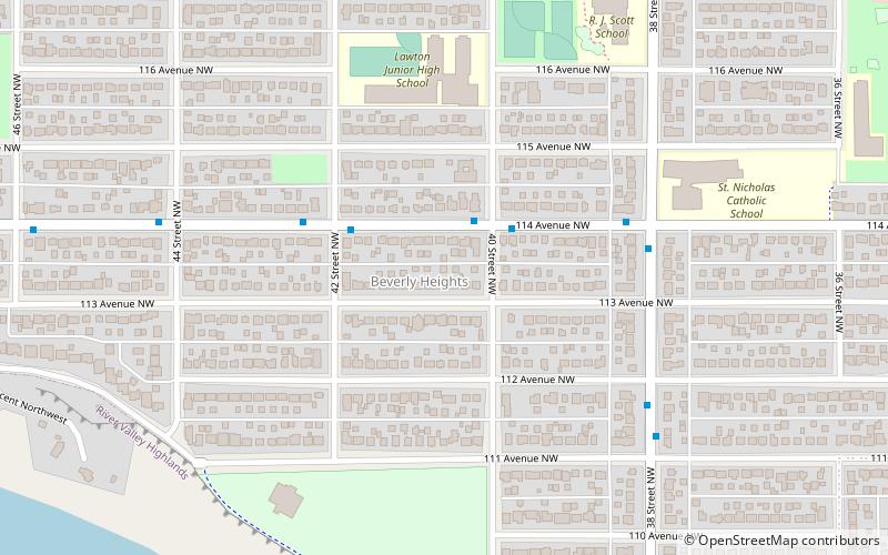
Map
Facts and practical information
Area: 0.53 mi²Coordinates: 53°33'58"N, 113°24'14"W
Address
Northeast Edmonton (Beverly Heights)Edmonton
ContactAdd
Social media
Add
Getting there by public transportation
Public transportation stops near this location
- Bus
 Bus
Bus
- Calculate route50 Street & 106 Ave 31 min walk
- Calculate routeSt. Gabriel School Road & 106 Ave 34 min walk
- Calculate route57 Street & 106 Ave 36 min walk
- Calculate route59 Street & 106 Ave 38 min walk
Day trips


Frequently Asked Questions (FAQ)
Which popular attractions are close to Beverly Heights?
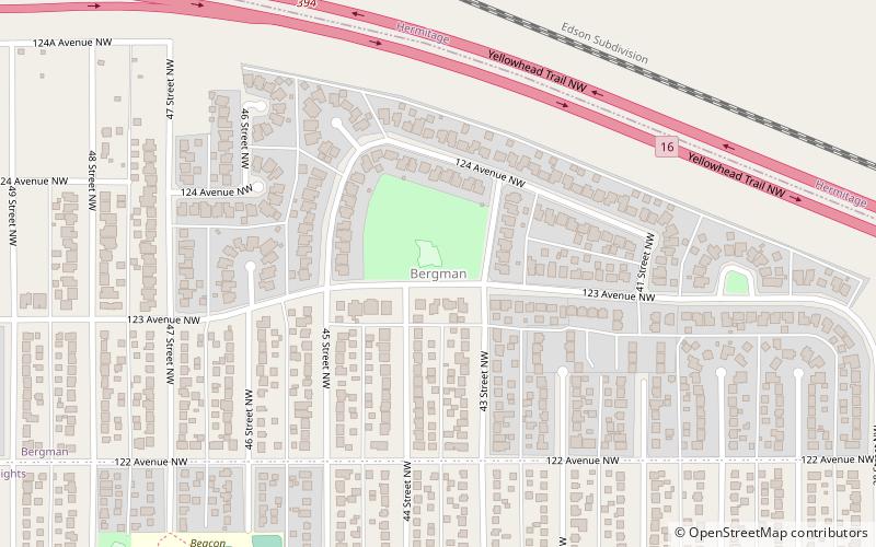
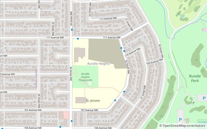
Nearby attractions include Beacon Heights, Edmonton (14 min walk), Rundle Heights, Edmonton (15 min walk), Gold Bar Park, Edmonton (18 min walk), Abbottsfield, Edmonton (20 min walk).
How to get to Beverly Heights by public transport?
The nearest stations to Beverly Heights:
Bus
Bus
- 50 Street & 106 Ave • Lines: 1 (31 min walk)
- St. Gabriel School Road & 106 Ave • Lines: 1 (34 min walk)