Rundle Heights, Edmonton
Map
Facts and practical information
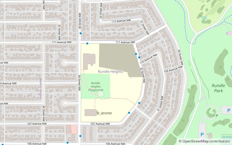
Rundle Heights is a residential neighbourhood overlooking the North Saskatchewan River valley in the City of Edmonton, Alberta, Canada, named for Methodist missionary Robert Terrill Rundle. While the neighbourhood didn't develop until the 1960s and 1970s, the area is closely associated with the Town of Beverly, a working class community that amalgamated with Edmonton in 1961. A number of the Beverly coal mines were located in the area. ()
Area: 202.63 acres (0.3166 mi²)Coordinates: 53°33'46"N, 113°23'28"W
Getting there by public transportation
Public transportation stops near this location
- Bus
 Bus
Bus
- Calculate route50 Street & 106 Ave 36 min walk
Day trips


Frequently Asked Questions (FAQ)
Which popular attractions are close to Rundle Heights?
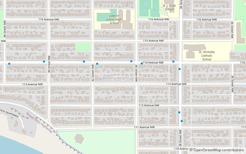
Nearby attractions include Rundle Park, Edmonton (7 min walk), Beverly Heights, Edmonton (15 min walk), Strathcona Science Provincial Park, Sherwood Park (19 min walk), Gold Bar Park, Edmonton (19 min walk).
How to get to Rundle Heights by public transport?
The nearest stations to Rundle Heights:
Bus
Bus
- 50 Street & 106 Ave • Lines: 1 (36 min walk)