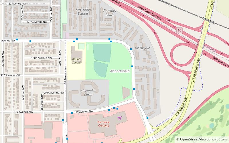
Abbottsfield, Edmonton
Map
Facts and practical information
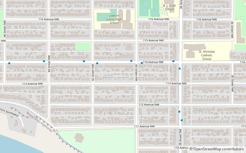
Abbottsfield is a neighbourhood in east Edmonton, Alberta, Canada overlooking the North Saskatchewan River valley. The neighbourhood is named for Abraham Abbott, a resident of the Town of Beverly and long time school custodian in the Beverly School District. While development of Abbottsfield didn't begin until nearly a decade after the amalgamation of Beverly with Edmonton in 1961, the neighbourhood is located in an area closely associated with Beverly. Beverly was a coal mining town, and one of the major Beverly coal mines was located in the Abbottsfield area. ()
Area: 101.31 acres (0.1583 mi²)Coordinates: 53°34'25"N, 113°23'24"W
Address
Northeast Edmonton (Abbottsfield)Edmonton
ContactAdd
Social media
Add
Day trips


Frequently Asked Questions (FAQ)
Which popular attractions are close to Abbottsfield?
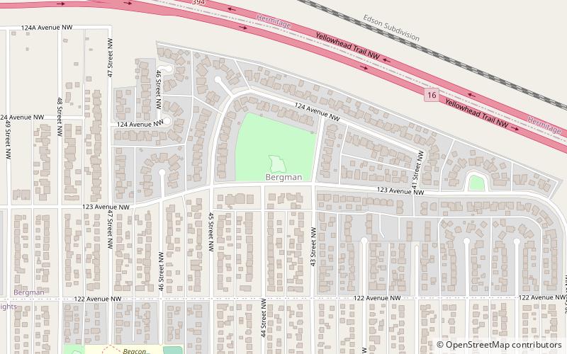
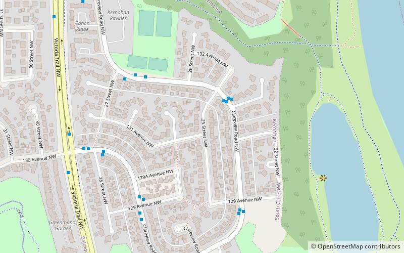
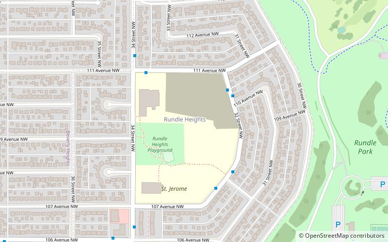
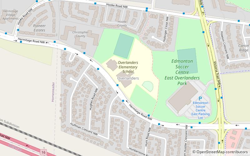
Nearby attractions include Overlanders, Edmonton (14 min walk), Canon Ridge, Edmonton (15 min walk), Beacon Heights, Edmonton (17 min walk), Rundle Heights, Edmonton (20 min walk).