President Range, Yoho National Park
Map
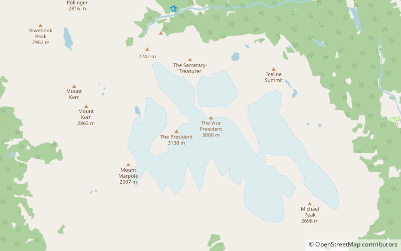
Map

Facts and practical information
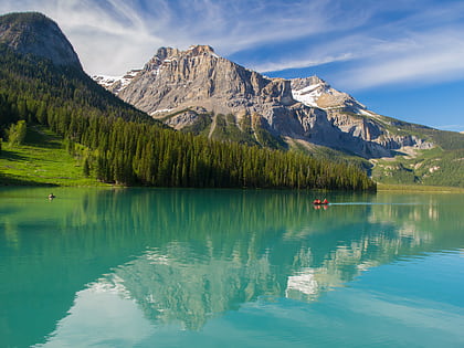
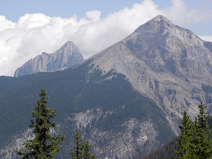
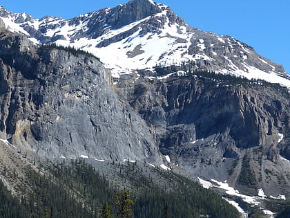
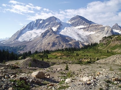
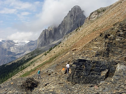
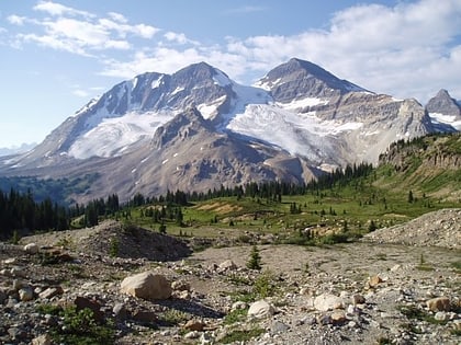
The President Range is a mountain range of the Canadian Rockies, located in the northwestern section of Yoho National Park. The range is named for the highest peak in the range, The President. ()
Area: 46.33 mi²Maximum elevation: 10295 ftCoordinates: 51°30'3"N, 116°33'18"W
Day trips
President Range – popular in the area (distance from the attraction)
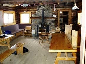
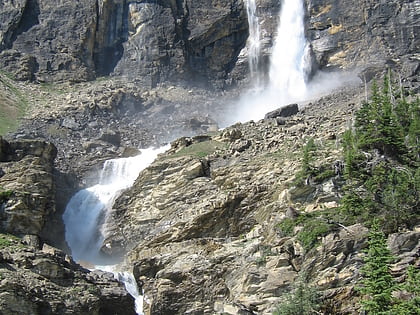
Nearby attractions include: Takakkaw Falls, Emerald Lake, Stanley Mitchell hut, Mount Carnarvon.
Frequently Asked Questions (FAQ)
Which popular attractions are close to President Range?
Nearby attractions include Vice president, Yoho National Park (6 min walk), President, Yoho National Park (10 min walk).


