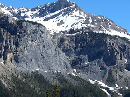
Burgess Shale, Field
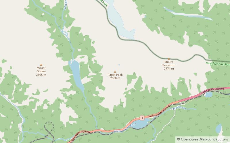
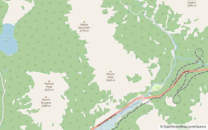
Map
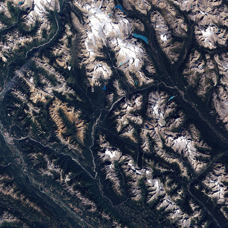
Gallery
Facts and practical information
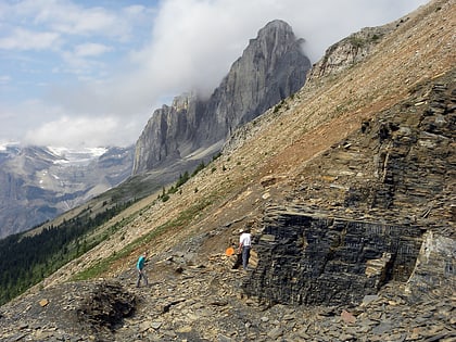
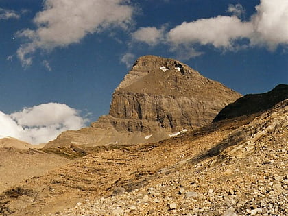
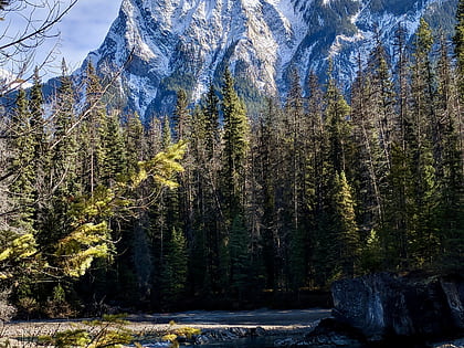
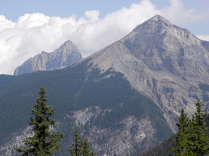
The Burgess Shale is a fossil-bearing deposit exposed in the Canadian Rockies of British Columbia, Canada. It is famous for the exceptional preservation of the soft parts of its fossils. At 508 million years old, it is one of the earliest fossil beds containing soft-part imprints. ()
Alternative names: Unesco: from 1980 to 1984Elevation: 8140 ft a.s.l.Coordinates: 51°25'60"N, 116°28'1"W
Address
Field
ContactAdd
Social media
Add
Day trips
Burgess Shale – popular in the area (distance from the attraction)
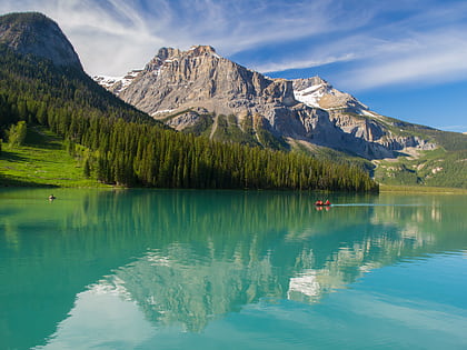
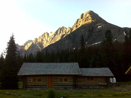
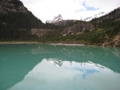
Nearby attractions include: Takakkaw Falls, Emerald Lake, Elizabeth Parker hut, Sherbrooke Lake.
Frequently Asked Questions (FAQ)
Which popular attractions are close to Burgess Shale?
Nearby attractions include Mount Field, Field (7 min walk), Canadian Rocky Mountain Parks World Heritage Site, Field (21 min walk).
