Saint Hubert Street, Montreal
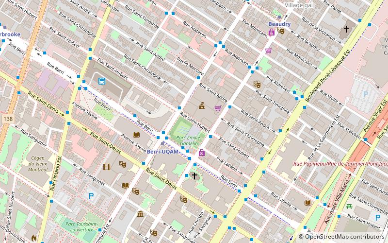
Map
Facts and practical information
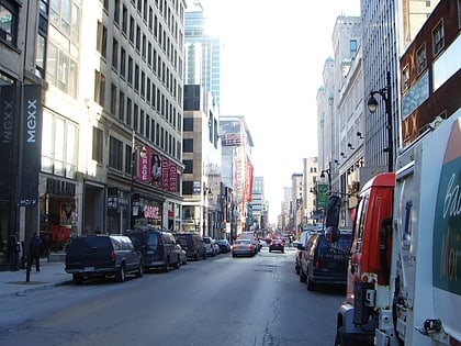
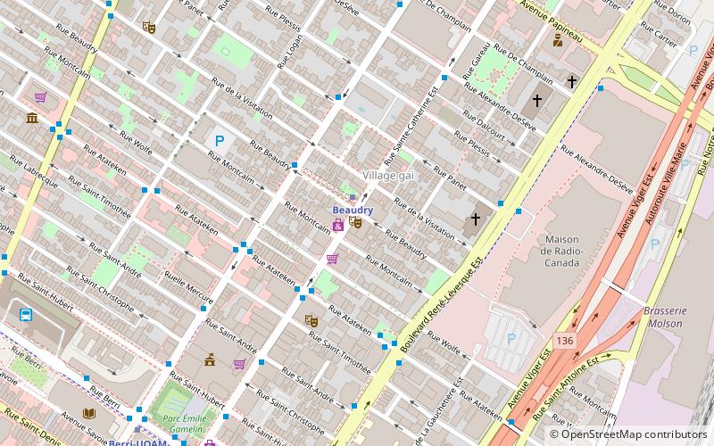
St. Hubert Street is a north–south street that spans the island of Montreal. It is located east of Berri Street. ()
Coordinates: 45°30'57"N, 73°33'35"W
Address
Ville-Marie District (Quartier Ville-Marie)Montreal
ContactAdd
Social media
Add
Day trips
Saint Hubert Street – popular in the area (distance from the attraction)
Nearby attractions include: St-Laurent, Saint Catherine Street, Stereo, Saint Denis Street.
Frequently Asked Questions (FAQ)
Which popular attractions are close to Saint Hubert Street?
Nearby attractions include Berri Street, Montreal (2 min walk), Place Émilie-Gamelin, Montreal (3 min walk), Chapelle Notre-Dame-DE-Lourdes, Montreal (3 min walk), Bibliothèque et Archives nationales du Québec, Montreal (4 min walk).
How to get to Saint Hubert Street by public transport?
The nearest stations to Saint Hubert Street:
Bus
Metro
Train
Bus
- Sainte-Catherine / Saint-Hubert • Lines: 15-E (2 min walk)
- Station Berri-UQAM • Lines: 15-O, 30-N, 30-S, 427-E, 427-O, 747-E, 747-O (3 min walk)
Metro
- Berri-UQAM • Lines: 1, 2, 4 (3 min walk)
- Beaudry • Lines: 1 (8 min walk)
Train
- Montreal Central Station (29 min walk)
- Fort Edmonton (32 min walk)
 Metro
Metro
