Centretown West, Ottawa
Map

Map

Facts and practical information
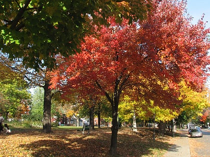
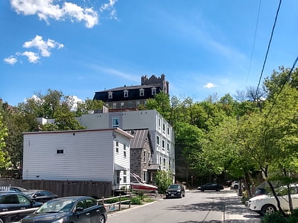
Centretown West is a neighbourhood in Ottawa, Ontario, Canada. It lies to the west of Bronson Avenue, east of the O-Train Trillium Line, north of Carling Avenue, and south of Nanny Goat Hill, which is an escarpment to the north of Somerset Street West. To the east lies Centretown, to the north lies Lebreton Flats, to the west lies Hintonburg, and to the south lies Dow's Lake. Much of the neighbourhood makes up what is also called Dalhousie. ()
Coordinates: 45°24'30"N, 75°42'30"W
Address
Centretown WestOttawa
ContactAdd
Social media
Add
Day trips
Centretown West – popular in the area (distance from the attraction)
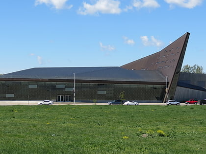
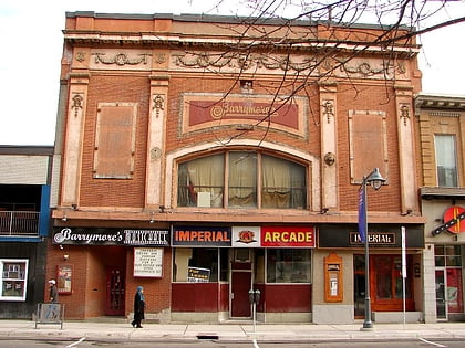
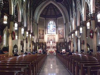
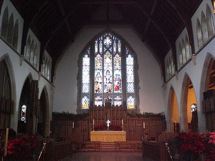
Nearby attractions include: Canadian War Museum, Barrymore's, St Patrick's Basilica, Christ Church Cathedral.
Frequently Asked Questions (FAQ)
Which popular attractions are close to Centretown West?
Nearby attractions include Chinatown, Ottawa (4 min walk), St. Anthony of Padua, Ottawa (5 min walk), Nanny Goat Hill, Ottawa (5 min walk), Dominican University College, Ottawa (6 min walk).
How to get to Centretown West by public transport?
The nearest stations to Centretown West:
Bus
Light rail
Bus
- Somerset W / Lebreton • Lines: 11 (4 min walk)
- Gladstone / Bell • Lines: 114, 14 (4 min walk)
Light rail
- Pimisi O-Train East/Est • Lines: 1 (12 min walk)
- Bayview O-Train West/Ouest • Lines: 1 (18 min walk)

