Sunalta Station Place, Calgary
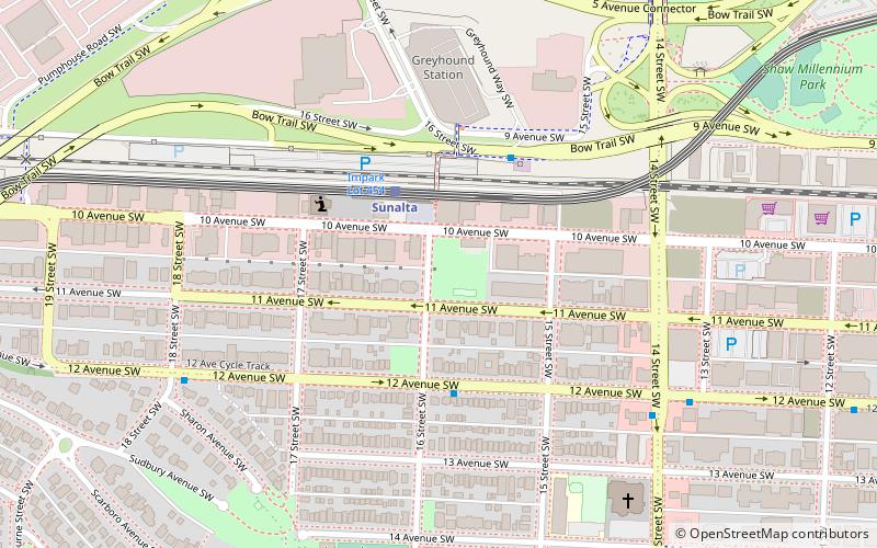
Map
Facts and practical information
Sunalta Station Place is a three-story building constructed between 1904 and 1905 by Louis Weissgerber. ()
Elevation: 3455 ft a.s.l.Coordinates: 51°2'38"N, 114°5'56"W
Day trips
Sunalta Station Place – popular in the area (distance from the attraction)
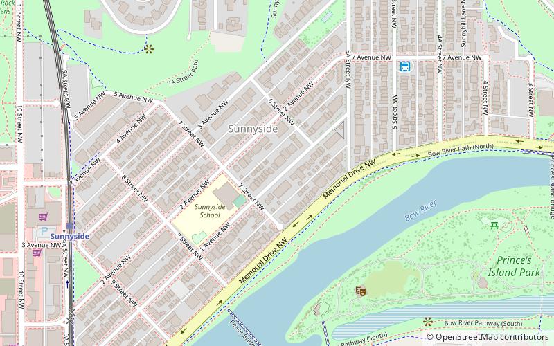
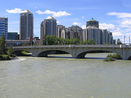
Nearby attractions include: The Core Shopping Centre, Prince's Island Park, Centennial Planetarium, Peace Bridge.
Frequently Asked Questions (FAQ)
Which popular attractions are close to Sunalta Station Place?
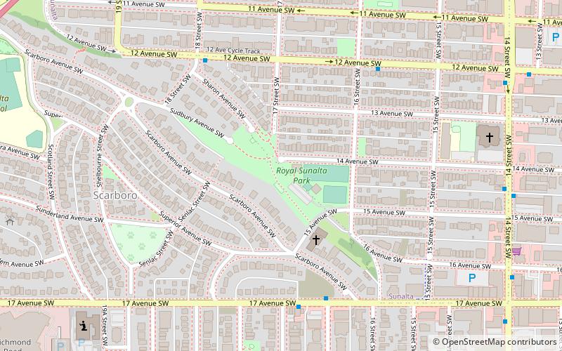
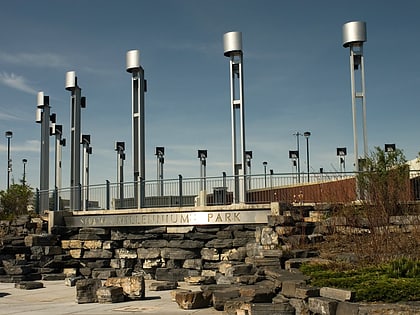
Nearby attractions include Sunalta, Calgary (4 min walk), Calgary Centre, Calgary (7 min walk), Millennium Park, Calgary (10 min walk), Scarboro, Calgary (11 min walk).
How to get to Sunalta Station Place by public transport?
The nearest stations to Sunalta Station Place:
Light rail
Bus
Light rail
- Sunalta • Lines: 202 (2 min walk)
- Downtown West–Kerby • Lines: 202 (15 min walk)
Bus
- 9 Avenue & 16 Street SW • Lines: 66 (3 min walk)
- 14 Street & 12 Avenue SW • Lines: 6 (6 min walk)


