Jasper Place, Edmonton
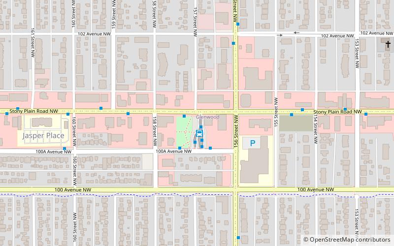
Map
Facts and practical information
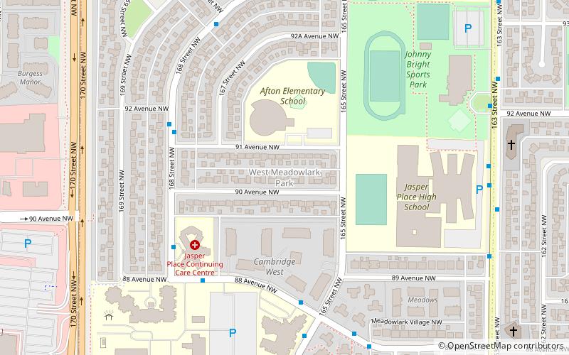
Jasper Place, originally named West Jasper Place, is a former town in Alberta, Canada now within the City of Edmonton. Prior to amalgamation with Edmonton, the town was bounded by 149 Street to the east, 118 Avenue to the north, 170 Street to the west and the North Saskatchewan River to the south. Its former municipal centre, which included its town hall, fire station and Butler Memorial Park, was located at Stony Plain Road and 157 Street. It was known as West Jasper Place from 1910 to 1950. ()
Founded: 1910 (116 years ago)Coordinates: 53°32'28"N, 113°35'31"W
Address
West Edmonton (Glenwood)Edmonton
ContactAdd
Social media
Add
Day trips
Jasper Place – popular in the area (distance from the attraction)
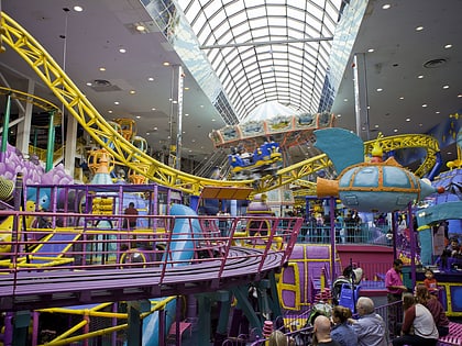
Nearby attractions include: Galaxyland, Mindbender, Galaxy Orbiter, Crestwood Community League.
Frequently Asked Questions (FAQ)
Which popular attractions are close to Jasper Place?
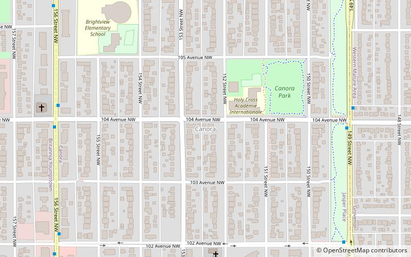
Nearby attractions include West Jasper Place, Edmonton (12 min walk), Canora, Edmonton (13 min walk), Britannia Youngstown, Edmonton (14 min walk), Glenwood, Edmonton (14 min walk).
How to get to Jasper Place by public transport?
The nearest stations to Jasper Place:
Bus
Bus
- Jasper Place Transit Centre • Lines: 14, 7 (1 min walk)
- Stony Plain Road & 159 Street • Lines: 14 (4 min walk)
