Canora, Edmonton
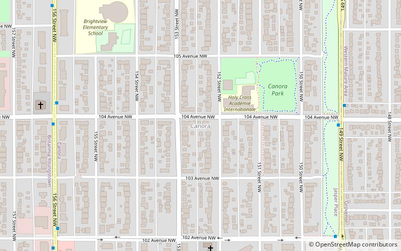
Map
Facts and practical information
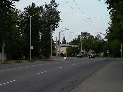
Canora is a residential neighbourhood in west Edmonton, Alberta, Canada. Canora's name comes from the first two letters of the words "Canadian Northern Railway", the winning entry in a 1948 contest to name a new school being built near an abandoned right of way of the former Canadian Northern Railway. ()
Area: 217.45 acres (0.3398 mi²)Coordinates: 53°32'46"N, 113°35'3"W
Address
West Edmonton (Canora)Edmonton
ContactAdd
Social media
Add
Day trips
Canora – popular in the area (distance from the attraction)
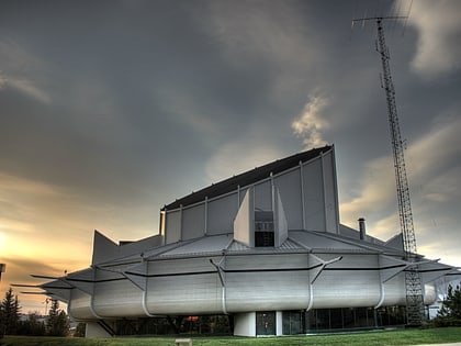
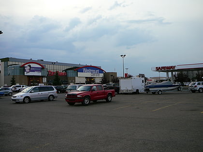
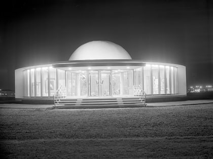
Nearby attractions include: Telus World of Science, Westmount Centre, Crestwood Community League, Queen Elizabeth Planetarium.
Frequently Asked Questions (FAQ)
Which popular attractions are close to Canora?
Nearby attractions include Jasper Place, Edmonton (13 min walk), Grovenor, Edmonton (14 min walk), High Park, Edmonton (16 min walk), West Jasper Place, Edmonton (18 min walk).
How to get to Canora by public transport?
The nearest stations to Canora:
Bus
Bus
- Jasper Place Transit Centre • Lines: 14, 7 (13 min walk)
- Stony Plain Road & 159 Street • Lines: 14 (15 min walk)
