Cloverdale, Edmonton

Facts and practical information
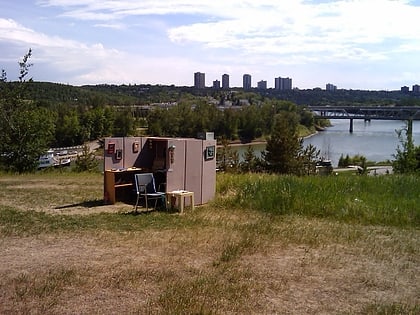
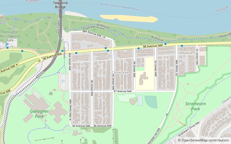
Cloverdale is a river valley neighbourhood in Edmonton, Alberta, Canada located on the south side of the North Saskatchewan River. It is located immediately across the river from the downtown core and the river valley neighbourhood of Riverdale. Southside neighbourhoods overlooking Cloverdale include: Bonnie Doon, Strathearn, Holyrood, and Forest Heights. The southwest corner of the neighbourhood is bounded by Connor's Road, the approaches to the Low Level Bridge, and the mouth of the Mill Creek Ravine. The Low Level Bridge and James McDonald Bridge connect the neighbourhood to the north side, while Scona Road provides access to Old Strathcona. ()
South Central Edmonton (Cloverdale)Edmonton
Cloverdale – popular in the area (distance from the attraction)
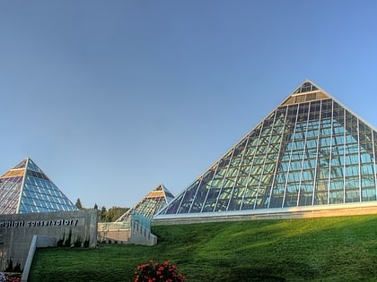
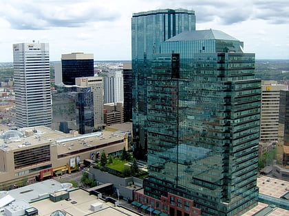
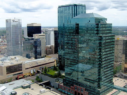
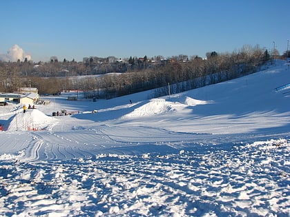
Nearby attractions include: Muttart Conservatory, Manulife Place, Commerce Place, Edmonton Ski Club.
Frequently Asked Questions (FAQ)
Which popular attractions are close to Cloverdale?
How to get to Cloverdale by public transport?
Bus
- 96 Street & Jasper Ave • Lines: 2, 2-Owl, 5 (15 min walk)
- 95 Street & Jasper Ave • Lines: 1, 2, 2-Owl, 5 (16 min walk)
Light rail
- Churchill • Lines: 501, 502 (21 min walk)
- Central • Lines: 501, 502 (22 min walk)

