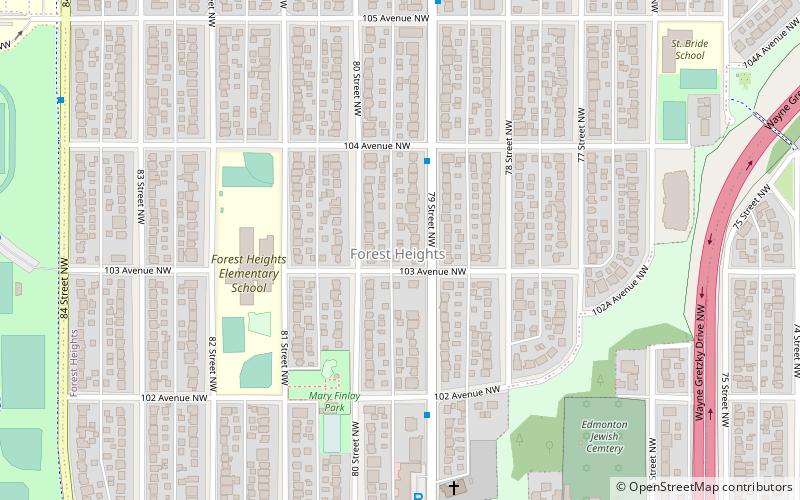
Forest Heights, Edmonton

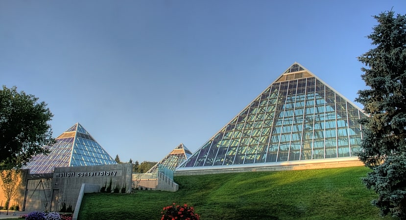
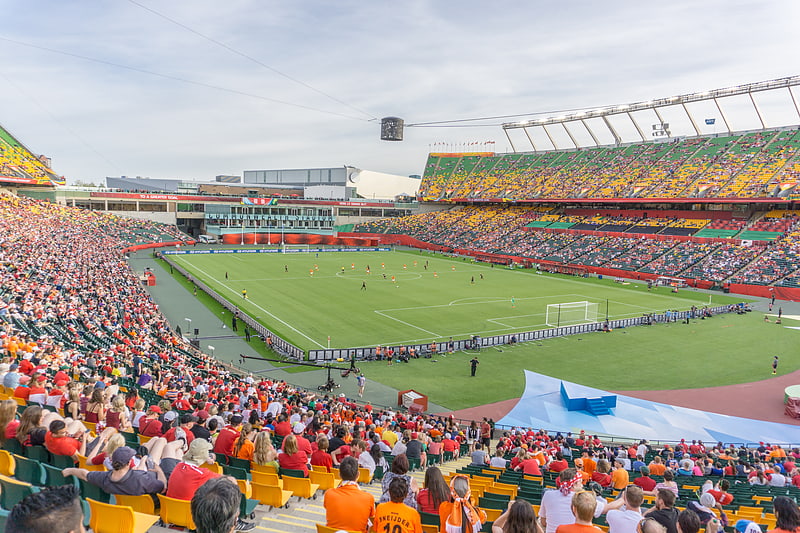
Gallery (1)
Map
Map
Facts and practical information
Area: 0.63 mi²Coordinates: 53°32'42"N, 113°26'60"W
Address
Northeast Edmonton (Forest Heights)Edmonton
ContactAdd
Social media
Add
Getting there by public transportation
Public transportation stops near this location
- Bus
- Light rail
 Bus
Bus
- Calculate route79 Street & 103 Ave 1 min walk
- Calculate routeStadium 35 min walk
Day trips


Frequently Asked Questions (FAQ)
Which popular attractions are close to Forest Heights?
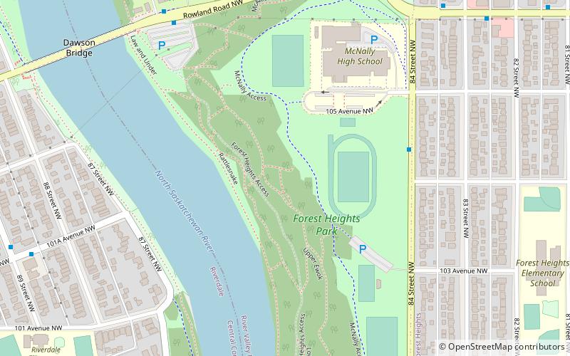
Nearby attractions include Forest Heights Park, Edmonton (12 min walk), Terrace Heights, Edmonton (16 min walk), Dawson Bridge, Edmonton (19 min walk), Capilano Bridge, Edmonton (23 min walk).
How to get to Forest Heights by public transport?
The nearest stations to Forest Heights:
Bus
Light rail
Bus
- 79 Street & 103 Ave • Lines: 1 (1 min walk)
Light rail
- Stadium • Lines: 501 (35 min walk)