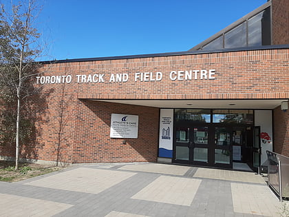
Tait McKenzie Centre, Toronto
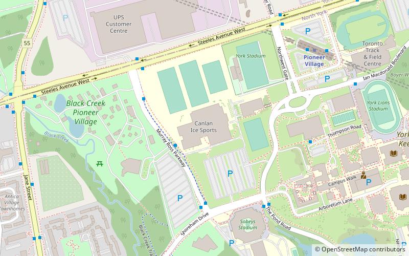
Map
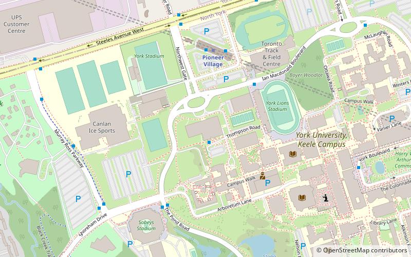
Map

Facts and practical information
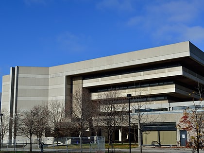
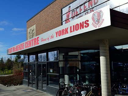
The Tait McKenzie Centre is an athletic facility located in Toronto, Ontario, Canada at York University. The building is named for R. Tait McKenzie, a renowned sculptor, doctor, soldier, physical educator, and athlete. ()
Opened: 1966 (60 years ago)Capacity: 1200Coordinates: 43°46'28"N, 79°30'35"W
Address
1 Thompson RoadNorth York (York Univeristy Heights)Toronto
ContactAdd
Social media
Add
Day trips
Tait McKenzie Centre – popular in the area (distance from the attraction)
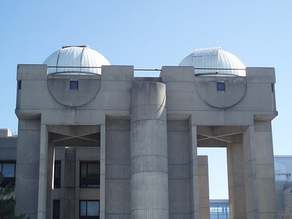
Nearby attractions include: Improve Canada, Black Creek Pioneer Village, Aviva Centre, Allan I. Carswell Astronomical Observatory.
Frequently Asked Questions (FAQ)
Which popular attractions are close to Tait McKenzie Centre?
Nearby attractions include Allan I. Carswell Astronomical Observatory, Toronto (2 min walk), York University Libraries, Toronto (7 min walk), Black Creek Pioneer Village, Toronto (11 min walk).
How to get to Tait McKenzie Centre by public transport?
The nearest stations to Tait McKenzie Centre:
Bus
Metro
Bus
- 230 Ian Macdonald Boulevard • Lines: (N) 353 (4 min walk)
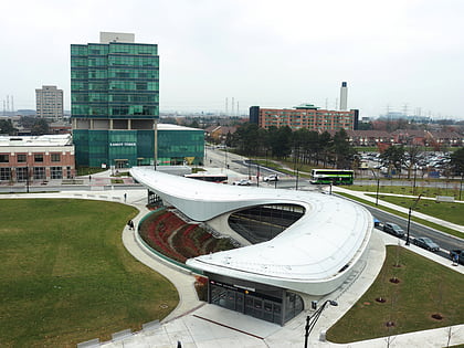
- Pioneer Village Station • Lines: 60A, 60B, 60D, 960 (5 min walk)
Metro
- York University • Lines: 1 (13 min walk)
- Highway 407 • Lines: 1 (24 min walk)
 Subway
 Streetcar system
 PATH
PATH


