York University Heights, Toronto
Facts and practical information
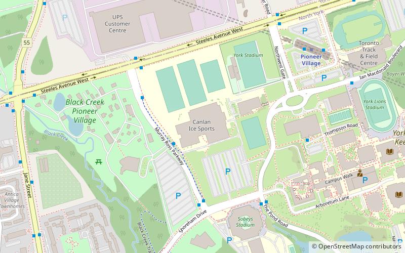
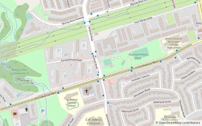
York University Heights, also known as Northwood Park, is a neighbourhood in Toronto, Ontario, Canada. It is one of Toronto's northernmost neighbourhoods, located along the northern boundary of Steeles Avenue in the former city of North York. The neighbourhood is so named because it contains the main campus of York University. This area is most popular with immigrants of Italian and Chinese descent who have established communities in the area. It is located between Sheppard Avenue and Steeles Avenue east of Black Creek. ()
North York (York Univeristy Heights)Toronto
York University Heights – popular in the area (distance from the attraction)
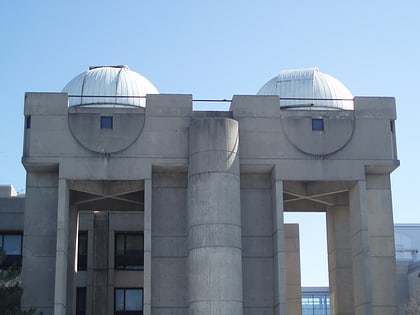
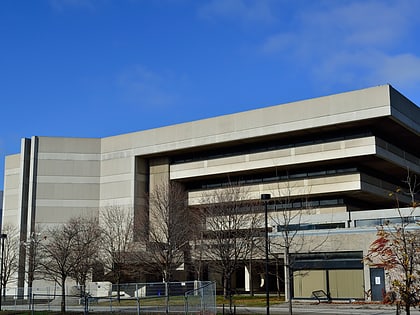
Nearby attractions include: Black Creek Pioneer Village, Aviva Centre, Allan I. Carswell Astronomical Observatory, York University Libraries.
Frequently Asked Questions (FAQ)
How to get to York University Heights by public transport?
Bus
- Cook Road • Lines: 106 (10 min walk)
- Finch West station (13 min walk)
Metro
- Finch West • Lines: 1 (13 min walk)
- York University • Lines: 1 (22 min walk)
Train
- Downsview Park (32 min walk)
 Subway
 Streetcar system
 PATH
PATH

