Jane and Finch, Toronto
Map
Gallery
Facts and practical information
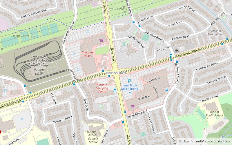
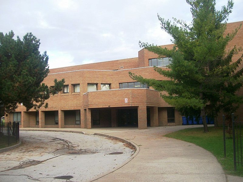
Jane and Finch is a neighbourhood located in the northwest end of Toronto, Ontario, Canada, in the district of North York. Centred at the intersection of Jane Street and Finch Avenue West, the area is roughly bounded by Highway 400 to the west, Black Creek to the east, Sheppard Avenue to the south, and Steeles Avenue to the north. The intersection itself was the location of a historic hamlet named Elia. ()
Coordinates: 43°45'26"N, 79°31'4"W
Address
North York (Jane and Finch)Toronto
ContactAdd
Social media
Add
Day trips
Jane and Finch – popular in the area (distance from the attraction)
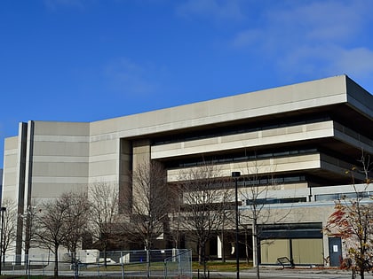
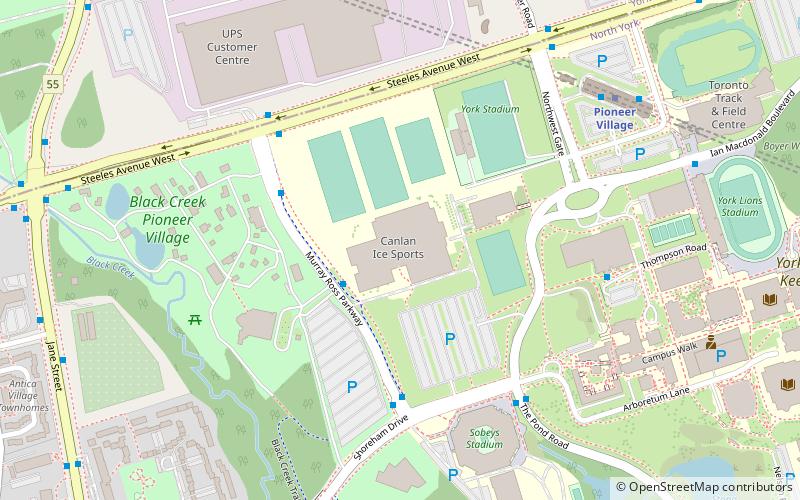
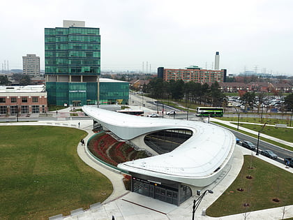
Nearby attractions include: Black Creek Pioneer Village, Aviva Centre, York University Libraries, Yorkgate Mall.
Frequently Asked Questions (FAQ)
How to get to Jane and Finch by public transport?
The nearest stations to Jane and Finch:
Bus
Metro
Bus
- Eastbound on Finch at Jane East Side • Lines: 36A (1 min walk)
- Driftwood Avenue • Lines: 36A (6 min walk)
Metro
- York University • Lines: 1 (38 min walk)
 Subway
 Streetcar system
 PATH
PATH

