Waterfront Trail, Toronto

Gallery (3)
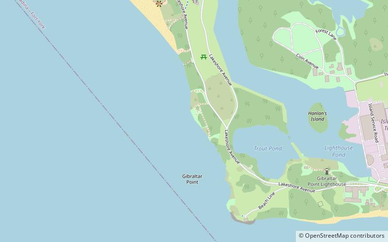
Map
Map
Gallery
Facts and practical information
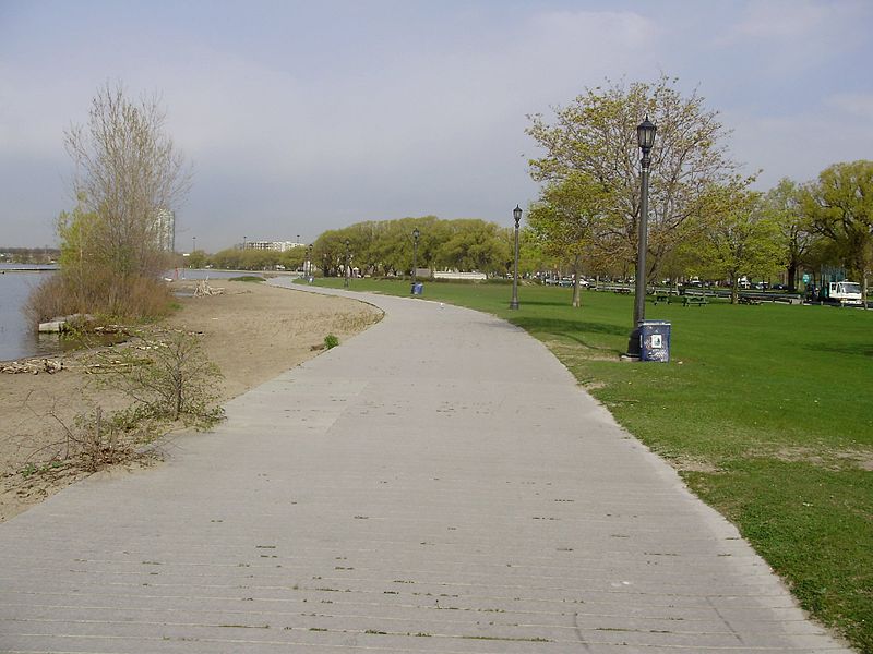
Stretching over 3600 km from Prince Township, west of Sault Ste. Marie, to the Quebec border, the Great Lakes Waterfront Trail is a signed route of interconnecting roads and off-road trails joining over 150 communities and First Nations along the Canadian shores of the Great Lakes and St. Lawrence River. A celebration of nature and culture, the Great Lakes Waterfront Trail is part of a strategy to protect and connect people to the largest group of freshwater lakes on earth. It is a legacy project of the Waterfront Regeneration Trust, a charity, and its community partners. Through Toronto, the trail is called the Martin Goodman Trail. The Waterfront Trail is also used by commuters in parts of Southern Ontario. ()
Length: 2236.94 miCoordinates: 43°36'55"N, 79°23'28"W
Address
Toronto IslandsToronto
ContactAdd
Social media
Add
Getting there by public transportation
Public transportation stops near this location
- Ferry
 Ferry
Ferry
- Calculate routeCentre Island 21 min walk
- Calculate routeHanlan's Point 23 min walk
Maps SubwayMaps
 Streetcar systemMaps
 PATH
PATH
SubwayMapsStreetcar systemMapsPATHDay trips


Frequently Asked Questions (FAQ)
Which popular attractions are close to Waterfront Trail?
Nearby attractions include Gibraltar Point Lighthouse, Toronto (9 min walk), Hanlan's Point Beach, Toronto (12 min walk), Toronto Islands, Toronto (19 min walk).
How to get to Waterfront Trail by public transport?
The nearest stations to Waterfront Trail:
Ferry
Ferry
- Centre Island • Lines: Toronto Island Ferry (21 min walk)
- Hanlan's Point • Lines: Toronto Island Ferry (23 min walk)