Froster Soak City, Toronto

Gallery (1)
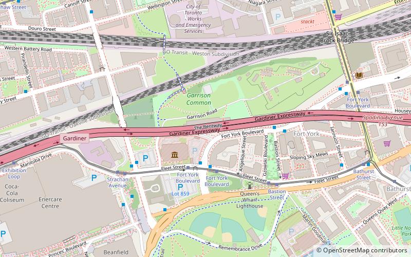
Map
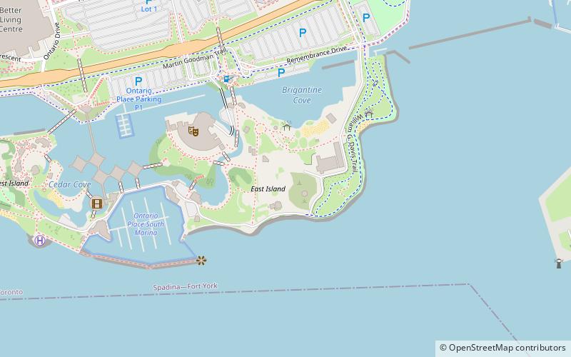
Map
Facts and practical information
Ontario Place is an entertainment venue, event venue, and park in Toronto, Ontario, Canada. The venue is located on three artificial landscaped islands just off-shore in Lake Ontario, south of Exhibition Place, and southwest of Downtown Toronto. It opened on May 22, 1971, and operated as a theme park centered around Ontario themes and family attractions until 2012 when the Government of Ontario announced that it would close for redevelopment. It has since reopened as a park without admission but without several of the old attractions. The Government of Ontario is currently considering further redevelopment of the site. ()
Getting there by public transportation
Public transportation stops near this location
- Bus
- Tram
- Train
- Ferry
 Bus
Bus
- Calculate routeStrachan Avenue 15 min walk
- Calculate routeExhibition Loop 15 min walk
- Calculate routeExhibition Loop 15 min walk
- Calculate routeFleet Street 16 min walk
- Calculate routeLynn Williams Street 20 min walk
- Calculate routeDufferin Gate Loop 21 min walk
- Calculate routeExhibition 16 min walk
- Calculate routeBathurst Street Terminal 22 min walk
- Calculate routeBilly Bishop Terminal 22 min walk
- Calculate routeHanlan's Point 30 min walk
Maps SubwayMaps
 Streetcar systemMaps
 PATH
PATH
SubwayMapsStreetcar systemMapsPATHDay trips


Frequently Asked Questions (FAQ)
Which popular attractions are close to Froster Soak City?
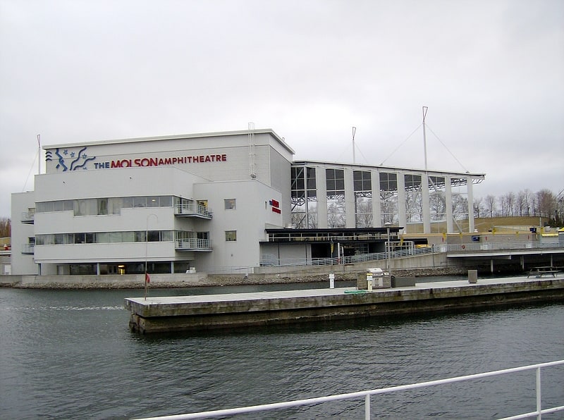
Nearby attractions include Trillium Park, Toronto (4 min walk), Budweiser Stage, Toronto (4 min walk), Ontario Place, Toronto (5 min walk), BMO Field, Toronto (12 min walk).
How to get to Froster Soak City by public transport?
The nearest stations to Froster Soak City:
Tram
Bus
Train
Ferry
Tram
- Strachan Avenue • Lines: 509, 511 (15 min walk)
- Exhibition Loop • Lines: 509, 511 (15 min walk)
Bus
- Exhibition Loop • Lines: 363 (15 min walk)
- Fleet Street • Lines: 363 (16 min walk)
Train
- Exhibition (16 min walk)
Ferry
- Bathurst Street Terminal • Lines: Billy Bishop Airport Ferry (22 min walk)
- Billy Bishop Terminal • Lines: Billy Bishop Airport Ferry (22 min walk)