Shoppers City West, Ottawa
Map
Facts and practical information
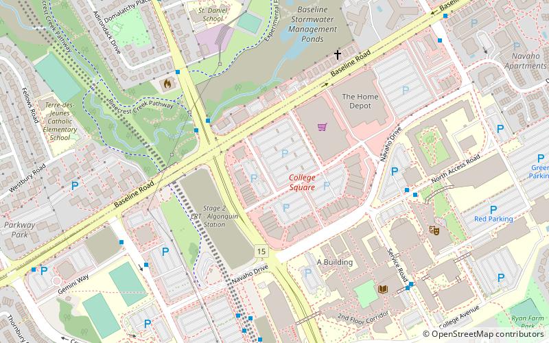
College Square is a shopping centre in Nepean, a suburb of Ottawa, Ontario, Canada, located at the intersection of Woodroffe Avenue and Baseline Road, and is north of Algonquin College. It has an area of 389,244 square feet. ()
Coordinates: 45°21'4"N, 75°45'40"W
Address
Ottawa
ContactAdd
Social media
Add
Getting there by public transportation
Public transportation stops near this location
- Bus
 Bus
Bus
- Calculate routeWoodroffe / Baseline 4 min walk
- Calculate routeNavaho / Algonquin College Residence 6 min walk
- Calculate routeBaseline 2B 6 min walk
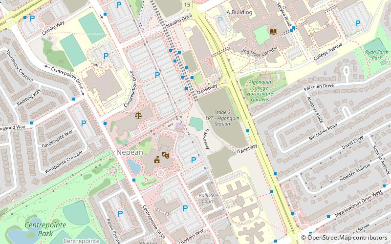
Day trips


Frequently Asked Questions (FAQ)
Which popular attractions are close to Shoppers City West?
Nearby attractions include Legacy Skatepark, Ottawa (10 min walk), Centrepointe Theatre, Ottawa (12 min walk), Kenson Park, Ottawa (13 min walk), Bel-Air Park, Ottawa (13 min walk).
How to get to Shoppers City West by public transport?
The nearest stations to Shoppers City West:
Bus
Bus
- Woodroffe / Baseline • Lines: 87 (4 min walk)
- Navaho / Algonquin College Residence • Lines: 88 (6 min walk)