Queensway Terrace South, Ottawa
Map
Facts and practical information
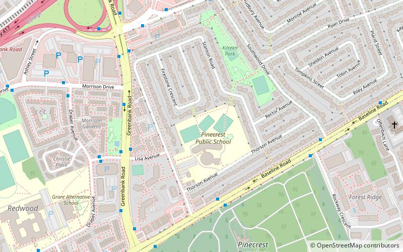
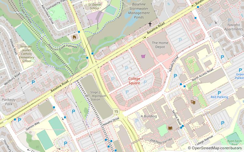
Queensway Terrace South is a neighbourhood in College Ward in the west end of Ottawa, Ontario, Canada. It used to be part of Queensway Terrace but in 1967, Highway 417 was built and split apart into Queensway Terrace North and South. The borders are to the east Southwood Drive, to the south Baseline Road, Queensway to the north and Greenbank Road to the west. Along with next-door Ridgeview, the neighbourhood is part of the Queensway Terrace South Ridgeview Community Association. ()
Coordinates: 45°20'41"N, 75°47'7"W
Address
Queensway Terrace SouthOttawa
ContactAdd
Social media
Add
Getting there by public transportation
Public transportation stops near this location
- Bus
 Bus
Bus
- Calculate routeBaseline / Mcwatters 5 min walk
- Calculate routeGreenbank / Lisa 5 min walk
- Calculate routeLisa / Draper 6 min walk
Day trips
Queensway Terrace South – popular in the area (distance from the attraction)
Nearby attractions include: Bayshore Shopping Centre, St. Stephen's Anglican Church, St. Michael and All Angels Anglican Church, Beit Tikvah of Ottawa.


Frequently Asked Questions (FAQ)
Which popular attractions are close to Queensway Terrace South?
Nearby attractions include Ridgeview, Ottawa (10 min walk), Pinecrest Station, Ottawa (11 min walk), Foster Farm, Ottawa (15 min walk), Britannia United Church, Ottawa (19 min walk).
How to get to Queensway Terrace South by public transport?
The nearest stations to Queensway Terrace South:
Bus
Bus
- Baseline / Mcwatters • Lines: 88 (5 min walk)
- Greenbank / Lisa • Lines: 173, 282, 58, 82 (5 min walk)