Bel-Air Park, Ottawa
Map
Gallery
Facts and practical information
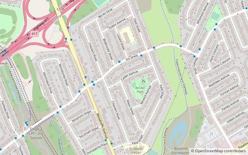
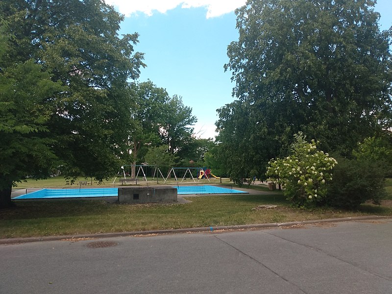
Bel-Air Park is a neighbourhood in College Ward in the west end of Ottawa, Ontario, Canada. It is bounded on the east by the Experimental Farm Pathway, on the south by Baseline Road, on the west by Woodroffe Avenue and on the north by the Queensway. ()
Coordinates: 45°21'29"N, 75°45'49"W
Address
Bel Air ParkOttawa
ContactAdd
Social media
Add
Day trips
Bel-Air Park – popular in the area (distance from the attraction)
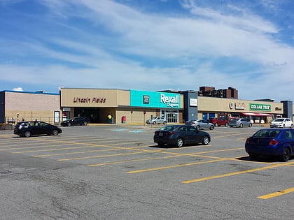
Nearby attractions include: Carlingwood Shopping Centre, Lincoln Fields Mall, Carlington Park, Nepean Museum.
Frequently Asked Questions (FAQ)
Which popular attractions are close to Bel-Air Park?
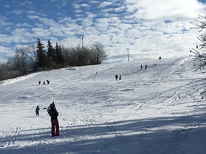
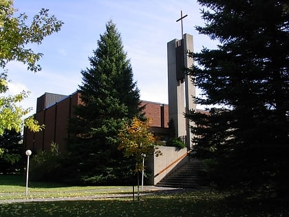
Nearby attractions include Kenson Park, Ottawa (6 min walk), St. Michael and All Angels Anglican Church, Ottawa (8 min walk), Parkway Park, Ottawa (14 min walk), Bel-Air Heights, Ottawa (15 min walk).
How to get to Bel-Air Park by public transport?
The nearest stations to Bel-Air Park:
Bus
Bus
- Iris / Bedbrooke • Lines: 50 (2 min walk)
- Iris / Field • Lines: 50 (3 min walk)

