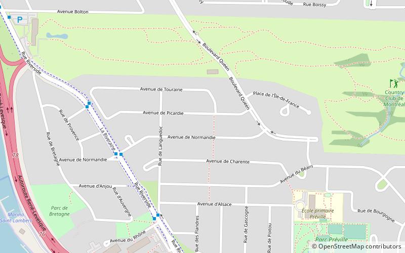
Victoria Avenue, Longueuil
Map
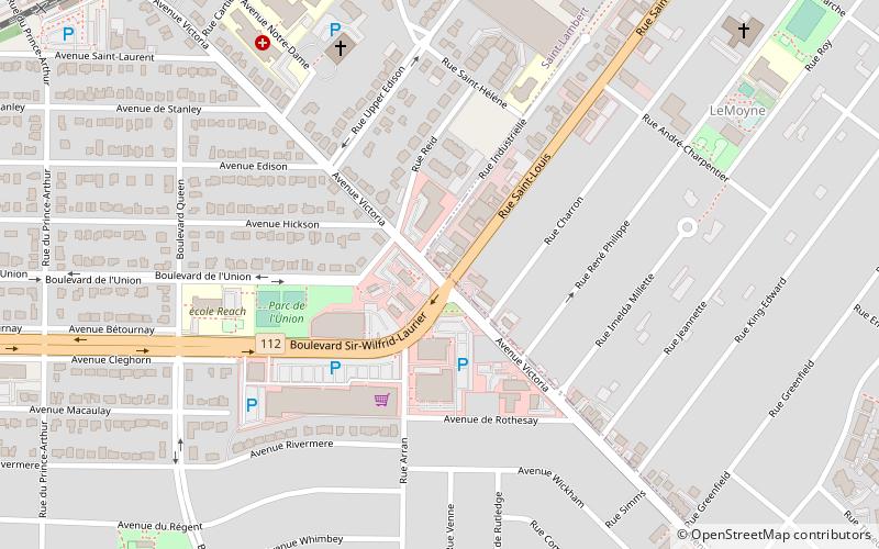
Map

Facts and practical information
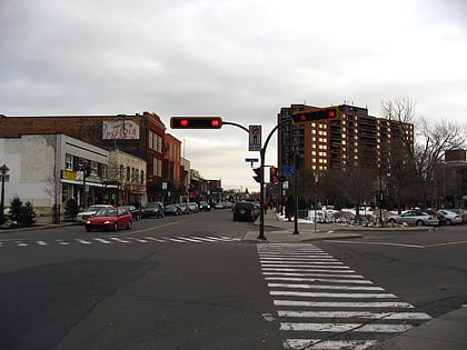
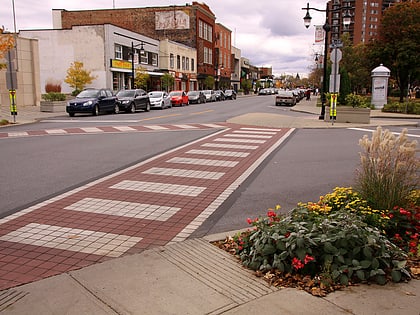
Victoria Avenue is a major street located in city of Saint-Lambert, Quebec and in the borough of Greenfield Park in the city of Longueuil, Quebec, Canada. Victoria Avenue extends from Riverside Drive, near Route 132 and the Saint Lawrence River in the north, to the Brossard municipal boundary in the south. Victoria Avenue is known as Lapinière Boulevard in the city of Brossard. ()
Coordinates: 45°29'43"N, 73°30'1"W
Address
Saint-Lambert (L'Espérance)Longueuil
ContactAdd
Social media
Add
Day trips
Victoria Avenue – popular in the area (distance from the attraction)
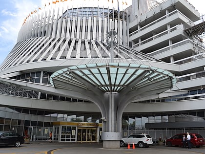
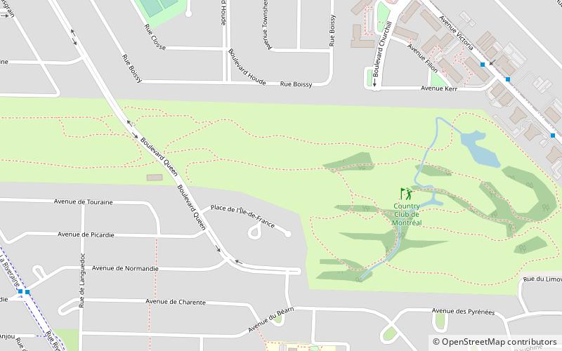
Nearby attractions include: Circuit Gilles Villeneuve, Casino de Montréal, Country Club of Montreal, Saint-Lambert.
Frequently Asked Questions (FAQ)
Which popular attractions are close to Victoria Avenue?
Nearby attractions include Saint-Lambert, Longueuil (19 min walk), Préville, Montreal (21 min walk).
How to get to Victoria Avenue by public transport?
The nearest stations to Victoria Avenue:
Train
Bus
Train
- Saint-Lambert (11 min walk)
Bus
- voie Bv-Taschereau / boul. Curé-Poirier • Lines: 301 N, 301 S, 302 N, 302 S (28 min walk)
- boul. Taschereau / face à passerelle piétonnière • Lines: 200 N, 200 S (30 min walk)
