Saint-Lambert, Longueuil
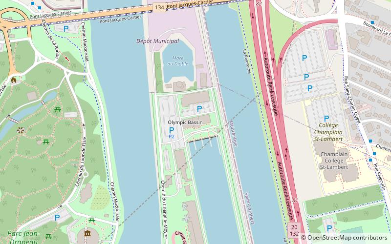
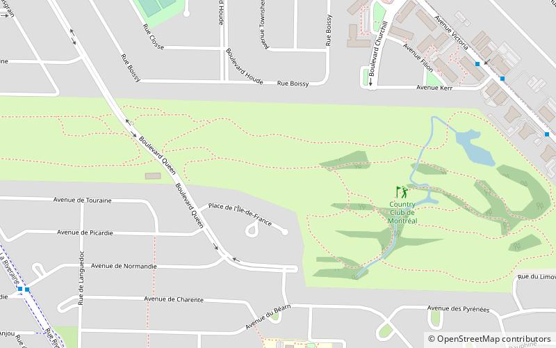
Map
Gallery
Facts and practical information
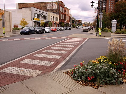
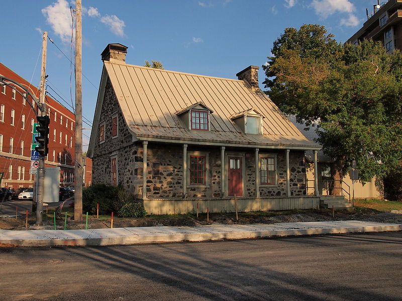
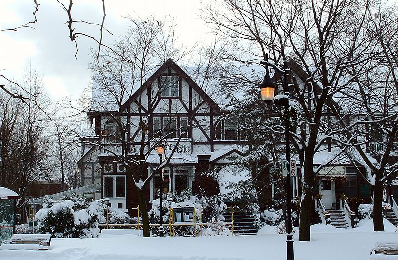
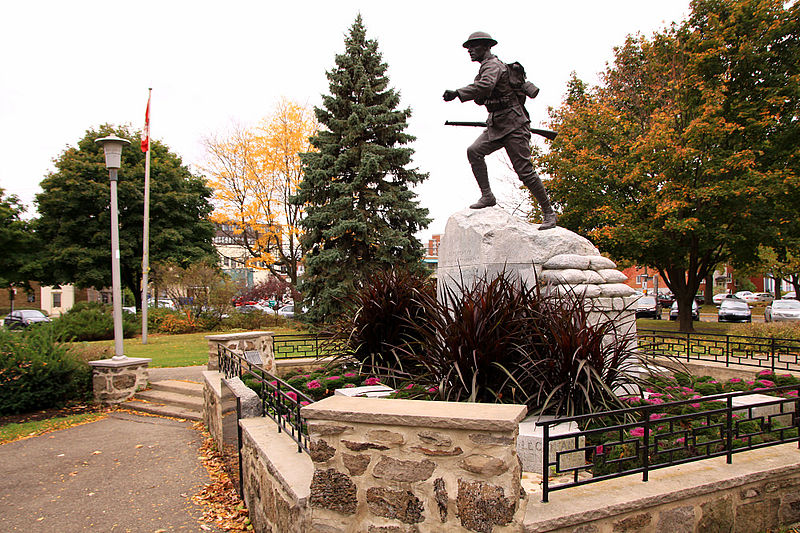
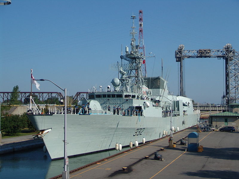
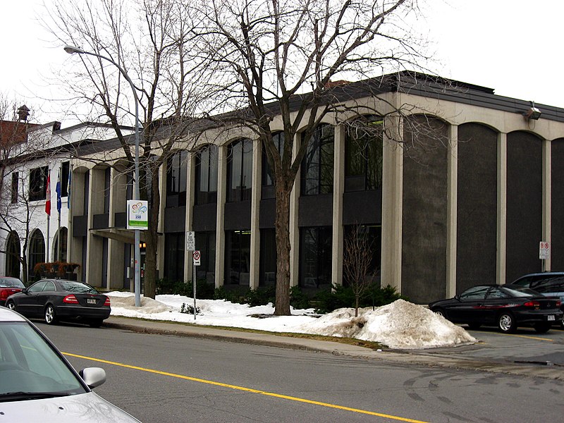
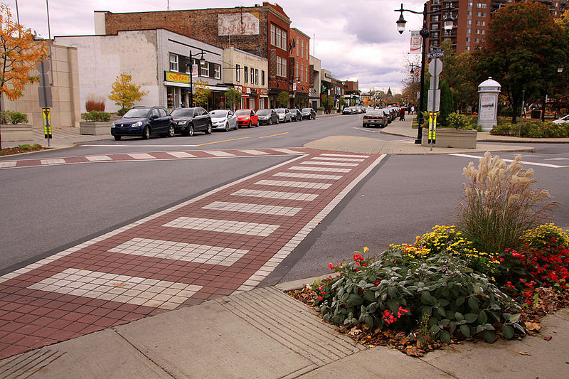
Saint-Lambert is a city in southwestern Quebec, Canada, located on the south shore of the St. Lawrence River, opposite Montreal. It is part of the Urban agglomeration of Longueuil of the Montérégie administrative region. It was home to 21,861 people according to the Canada 2016 Census. ()
Day trips
Saint-Lambert – popular in the area (distance from the attraction)
Nearby attractions include: Montreal Biosphère, Parc Jean-Drapeau, Circuit Gilles Villeneuve, Casino de Montréal.
Frequently Asked Questions (FAQ)
Which popular attractions are close to Saint-Lambert?
Nearby attractions include Circuit Gilles Villeneuve, Montreal (12 min walk), Casino de Montréal, Montreal (18 min walk), Québec Pavilion, Montreal (18 min walk), Victoria Avenue, Longueuil (19 min walk).
How to get to Saint-Lambert by public transport?
The nearest stations to Saint-Lambert:
Train
Bus
Metro
Train
- Saint-Lambert (9 min walk)
Bus
- Casino de Montréal • Lines: 777-E, 777-O (19 min walk)
- ch. Tiffin / face au Collège Charles-Lemoyne • Lines: 200 N (26 min walk)
Metro
- Jean-Drapeau • Lines: 4 (33 min walk)
