Wildwood Park, Winnipeg
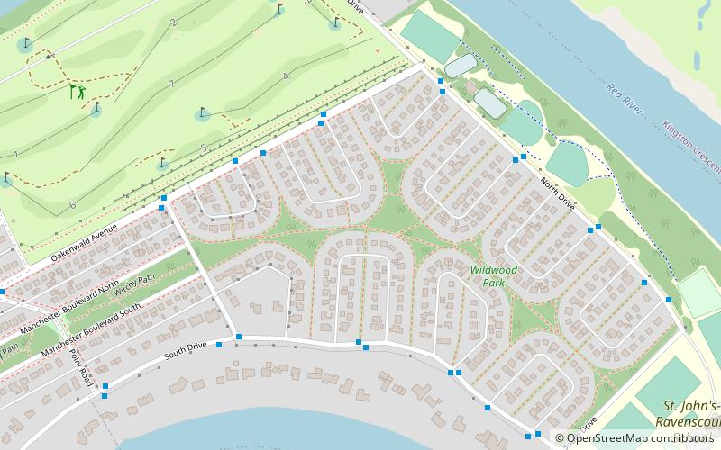
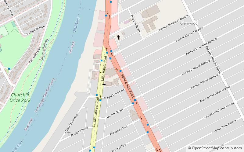
Map
Facts and practical information
Wildwood Park is a suburban, planned community in Winnipeg that has a central green space and no front roads, with communal walkways, playgrounds, and parks. ()
Established: 1946 (80 years ago)Coordinates: 49°50'50"N, 97°7'51"W
Address
Fort Garry (Wildwood)Winnipeg
ContactAdd
Social media
Add
Day trips
Wildwood Park – popular in the area (distance from the attraction)
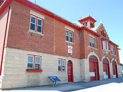
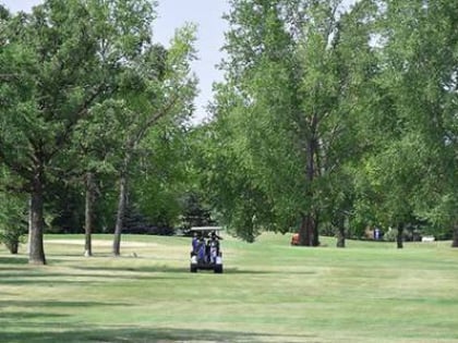
Nearby attractions include: Manitoba Electrical Museum, St. Vital Historical Society, St. Vital, Winnipeg Canoe Club Golf Course.
Frequently Asked Questions (FAQ)
How to get to Wildwood Park by public transport?
The nearest stations to Wildwood Park:
Bus
Bus
- Eastbound Oakenwald at Wildwood E • Lines: 694 (3 min walk)
- Westbound South at Wildwood H • Lines: 694 (4 min walk)
