BDI Bridge, Winnipeg
Map
Map

Facts and practical information
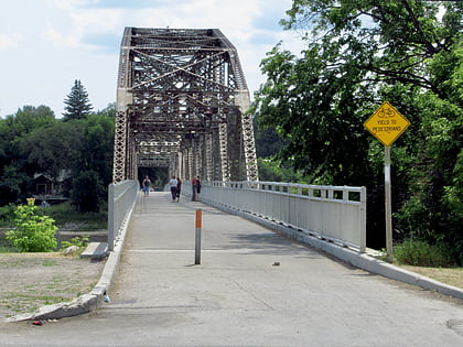
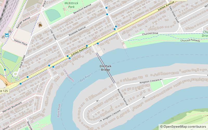
The Elm Park Bridge, sometimes locally referred to as the BDI Bridge or the Ice Cream Bridge, is a steel truss bridge over the Red River in Winnipeg, Manitoba. ()
Opened: 1913 (113 years ago)Width: 15 ftCoordinates: 49°51'15"N, 97°8'31"W
Address
River Heights (Lord Roberts)Winnipeg
ContactAdd
Social media
Add
Day trips
BDI Bridge – popular in the area (distance from the attraction)
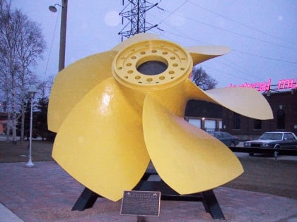
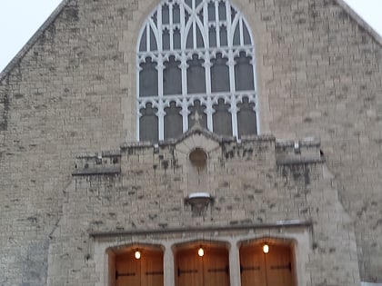
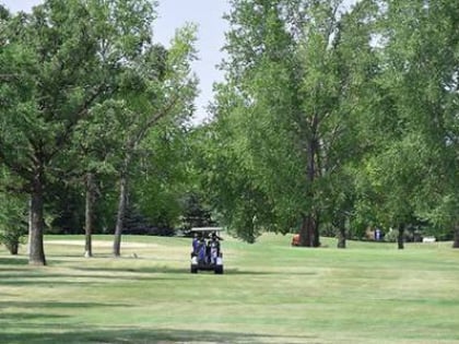
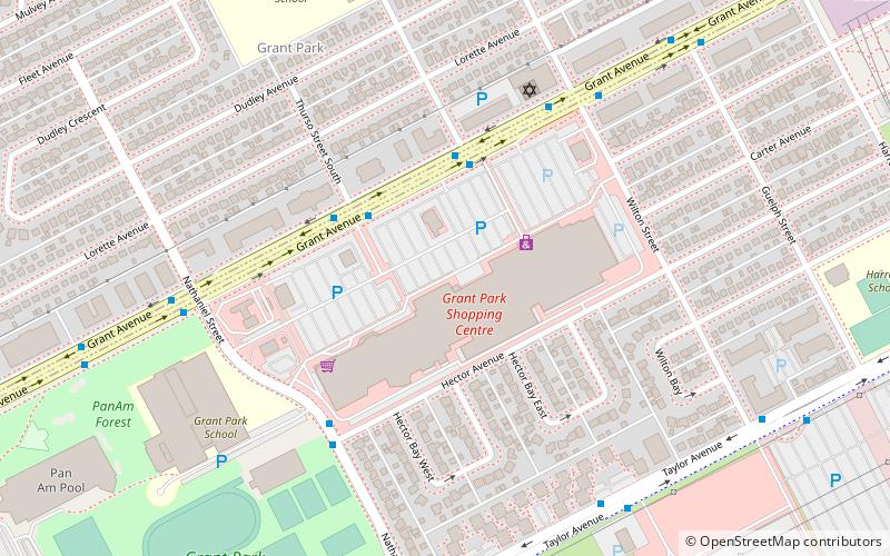
Nearby attractions include: Manitoba Electrical Museum, St. Ignatius Church, Winnipeg Canoe Club Golf Course, Grant Park Shopping Centre.
Frequently Asked Questions (FAQ)
Which popular attractions are close to BDI Bridge?
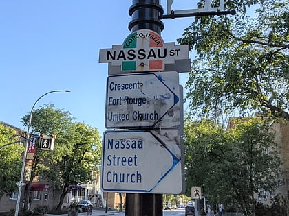
Nearby attractions include Manitoba Electrical Museum, Winnipeg (16 min walk), Wildwood Park, Winnipeg (18 min walk), Nassau Street, Winnipeg (20 min walk).
How to get to BDI Bridge by public transport?
The nearest stations to BDI Bridge:
Bus
Bus
- Eastbound Jubilee at Riverdale • Lines: 95 (3 min walk)
- Westbound Jubilee at Lilac • Lines: 95 (4 min walk)
