Monarch Park Stadium, Toronto
Map

Map

Facts and practical information
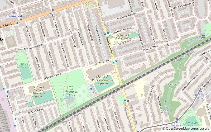
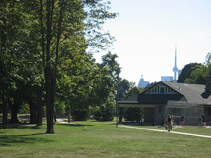
Monarch Park Stadium is a multi-purpose stadium in Toronto, Ontario, Canada. It is located near the intersection of Hanson Street and Coxwell Avenue next to Monarch Park Collegiate. Monarch Park Stadium is used mostly for amateur soccer, baseball, and athletics principally by the Toronto District School Board. Built in 1964, the stadium replaced baseball fields that existed before the school was built in the 1940s. ()
Opened: 1964 (62 years ago)Capacity: 5000Coordinates: 43°40'46"N, 79°19'22"W
Day trips
Monarch Park Stadium – popular in the area (distance from the attraction)
Nearby attractions include: De Grassi Street, Donlands Theatre, Pape Avenue Cemetery, Ashbridge Estate.
Frequently Asked Questions (FAQ)
Which popular attractions are close to Monarch Park Stadium?
Nearby attractions include Gerrard India Bazaar, Toronto (13 min walk), Upper Beaches, Toronto (15 min walk), St. John's Norway Cemetery, Toronto (19 min walk), Kempton Howard Park, Toronto (24 min walk).
How to get to Monarch Park Stadium by public transport?
The nearest stations to Monarch Park Stadium:
Tram
Bus
Metro
Train
Tram
- Coxwell Avenue • Lines: 306, 506 (8 min walk)
- Stop • Lines: 306, 506 (9 min walk)
Bus
- Coxwell Station • Lines: 404, 70C (9 min walk)
- Coxwell (9 min walk)
Metro
- Coxwell • Lines: 2 (9 min walk)
- Greenwood • Lines: 2 (12 min walk)
Train
- Danforth (32 min walk)

 Subway
 Streetcar system
 PATH
PATH


