Withrow Park, Toronto
Map
Map

Facts and practical information
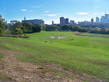
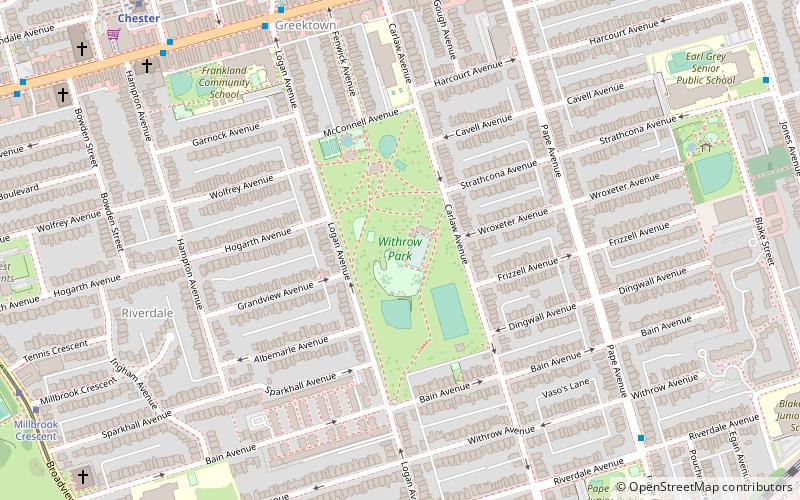
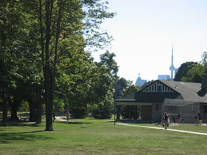
Withrow Park is a 8.5-hectare park in the Riverdale neighbourhood of Toronto, Ontario, Canada. Laid out and constructed in the 1910s, at the same time that the surrounding community was built, Withrow Park is among Toronto's large multi-purpose parks. The park is bounded by Carlaw Avenue on the east, Bain Avenue on the south, Logan Avenue on the west and McConnell Avenue on the north. ()
Created: 1910Elevation: 354 ft a.s.l.Coordinates: 43°40'28"N, 79°20'49"W
Day trips
Withrow Park – popular in the area (distance from the attraction)
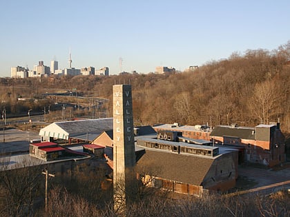
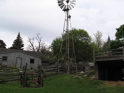
Nearby attractions include: Evergreen Brick Works, Riverdale Farm, De Grassi Street, Riverdale Park East.
Frequently Asked Questions (FAQ)
Which popular attractions are close to Withrow Park?
Nearby attractions include Greektown, Toronto (8 min walk), Church of the Holy Name, Toronto (9 min walk), Kempton Howard Park, Toronto (9 min walk), Metropolitan Community Church of Toronto, Toronto (13 min walk).
How to get to Withrow Park by public transport?
The nearest stations to Withrow Park:
Metro
Tram
Bus
Metro
- Chester • Lines: 2 (10 min walk)
- Pape • Lines: 2 (10 min walk)
Tram
- Millbrook Crescent • Lines: 504B, 505 (11 min walk)
- Withrow Avenue • Lines: 504B, 505 (12 min walk)
Bus
- Broadview (16 min walk)
- Broadview Station • Lines: 62, Evergreen Shuttle (16 min walk)
 Subway
 Streetcar system
 PATH
PATH