Kew Gardens, Toronto
Map
Map

Facts and practical information
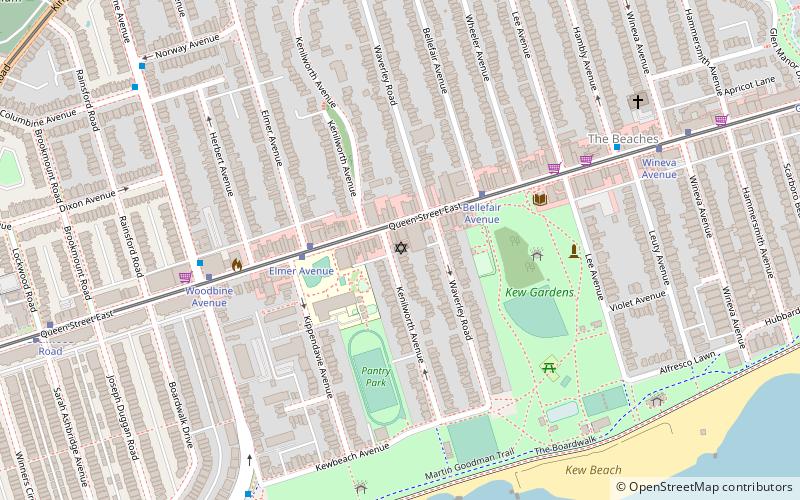
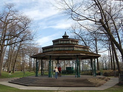
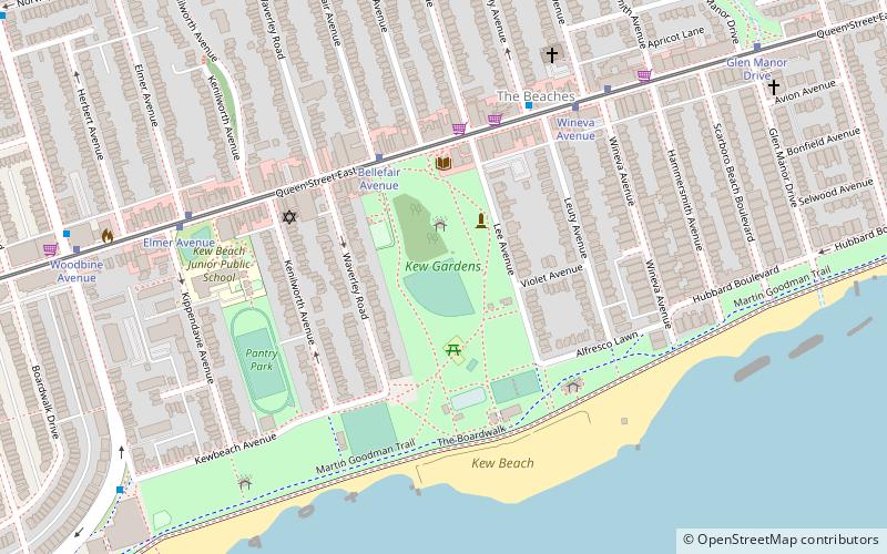
Kew Gardens is a large park in The Beaches neighbourhood of Toronto, Ontario, Canada. The park stretches from Queen Street East to Lake Ontario at Kew Beach. ()
Day trips
Kew Gardens – popular in the area (distance from the attraction)
Nearby attractions include: Ashbridge's Bay, Ashbridge Estate, Beach Hebrew Institute, St. John's Norway Cemetery.
Frequently Asked Questions (FAQ)
Which popular attractions are close to Kew Gardens?
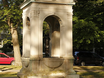
Nearby attractions include Dr. William D. Young Memorial, Toronto (2 min walk), The Beaches, Toronto (3 min walk), Beach Hebrew Institute, Toronto (5 min walk), Woodbine Beach, Toronto (17 min walk).
How to get to Kew Gardens by public transport?
The nearest stations to Kew Gardens:
Tram
Bus
Tram
- Bellefair Avenue • Lines: 501, 501;301 (4 min walk)
- Wineva Avenue • Lines: 501, 501;301 (6 min walk)
Bus
- Bellefair Avenue • Lines: 404 (4 min walk)
- Queen Street East • Lines: 404 (6 min walk)

 Subway
 Streetcar system
 PATH
PATH

