Markham Centennial Centre, Markham
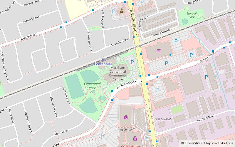
Map

Map

Facts and practical information
Opened: 1974 (52 years ago)Coordinates: 43°52'23"N, 79°17'16"W
Day trips
Markham Centennial Centre – popular in the area (distance from the attraction)
Nearby attractions include: Markville Shopping Centre, Unionville, Langham Square, Berczy Village.
Frequently Asked Questions (FAQ)
Which popular attractions are close to Markham Centennial Centre?
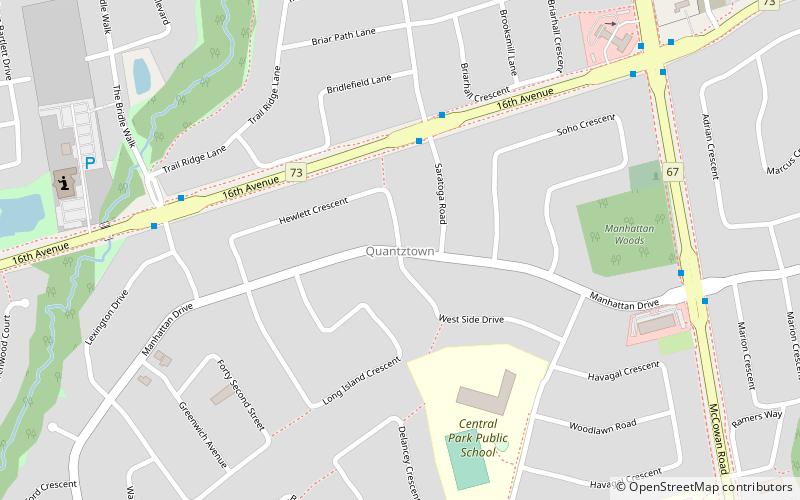
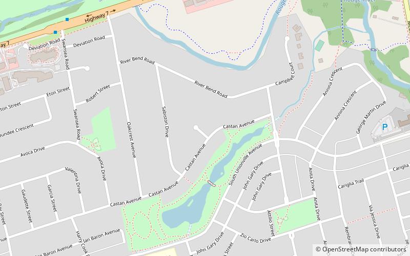
Nearby attractions include Quantztown, Markham (19 min walk), Raymerville – Markville East, Markham (21 min walk), South Unionville, Markham (23 min walk), Berczy Village, Markham (24 min walk).
How to get to Markham Centennial Centre by public transport?
The nearest stations to Markham Centennial Centre:
Train
Bus
Train
- Centennial (2 min walk)
Bus
- McCowan Road / Bullock Drive • Lines: 301, 304, 40, 41, 522 (3 min walk)
- Loblaws Stop #5205 • Lines: 522 (6 min walk)


