Unionville, Markham
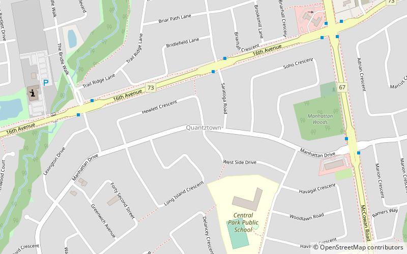
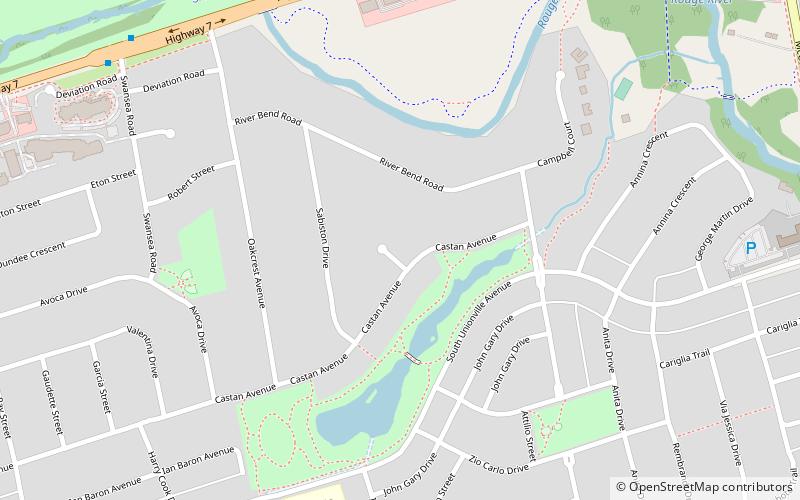
Map
Gallery
Facts and practical information
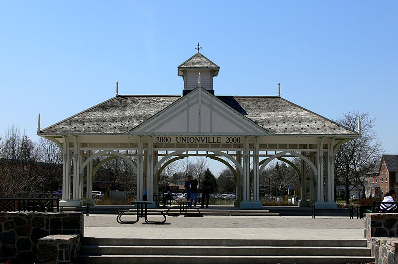
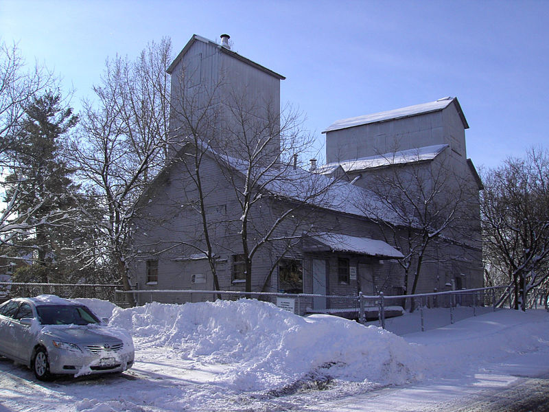
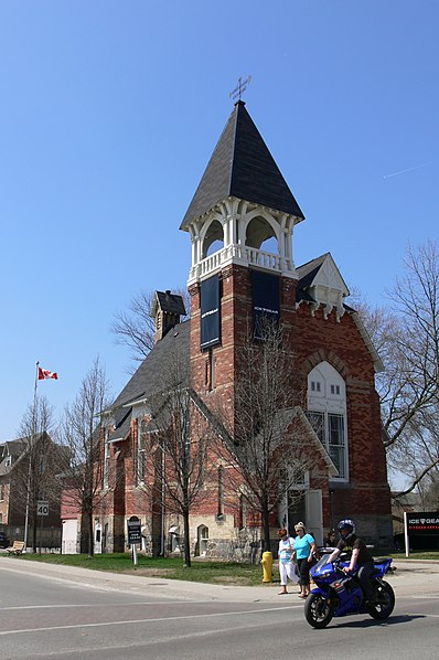
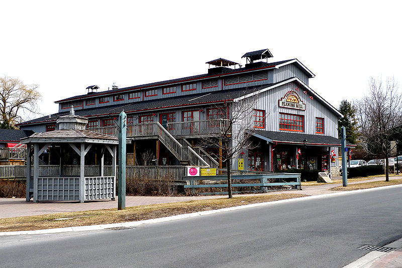
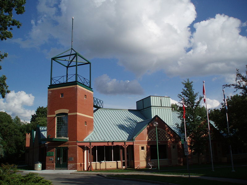
Unionville is a neighbourhood and former village in Markham, Ontario, Canada 33 km northeast of Downtown Toronto and 4 km east of southern Richmond Hill. The boundaries of Unionville are not well-defined, as it is an unincorporated community. Several neighbourhoods claim to be part of it however, this has been disputed between the various wards. ()
Address
UnionvilleMarkham
ContactAdd
Social media
Add
Day trips
Unionville – popular in the area (distance from the attraction)
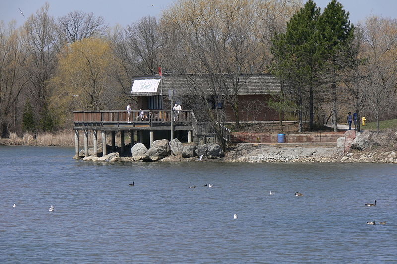
Nearby attractions include: Markville Shopping Centre, Varley Art Gallery, Toogood Pond Park, Langham Square.
Frequently Asked Questions (FAQ)
Which popular attractions are close to Unionville?
Nearby attractions include Varley Art Gallery, Markham (9 min walk), Toogood Pond Park, Markham (20 min walk).
How to get to Unionville by public transport?
The nearest stations to Unionville:
Bus
Train
Bus
- Main Street Unionville / Fred Varley Drive • Lines: 302 (3 min walk)
- Fred Varley Drive / Foothill Boulevard • Lines: 302 (4 min walk)
Train
- Unionville (24 min walk)
- Centennial (32 min walk)


