South Unionville, Markham

Map
Facts and practical information
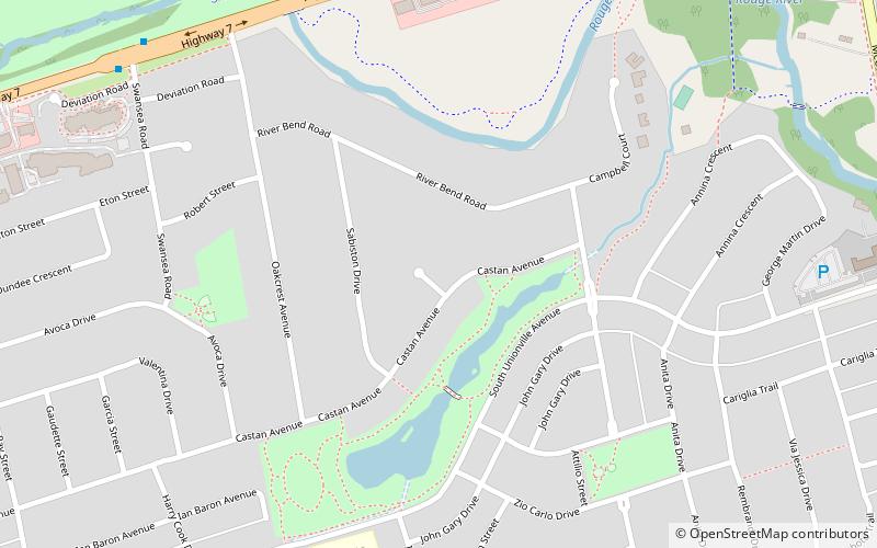
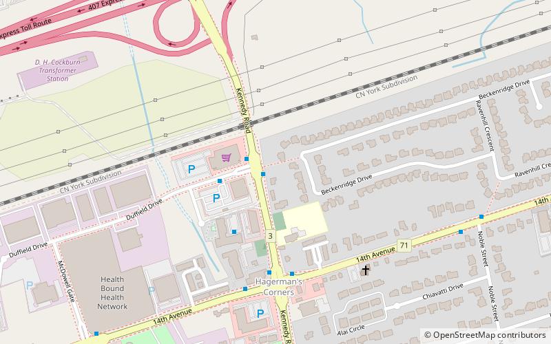
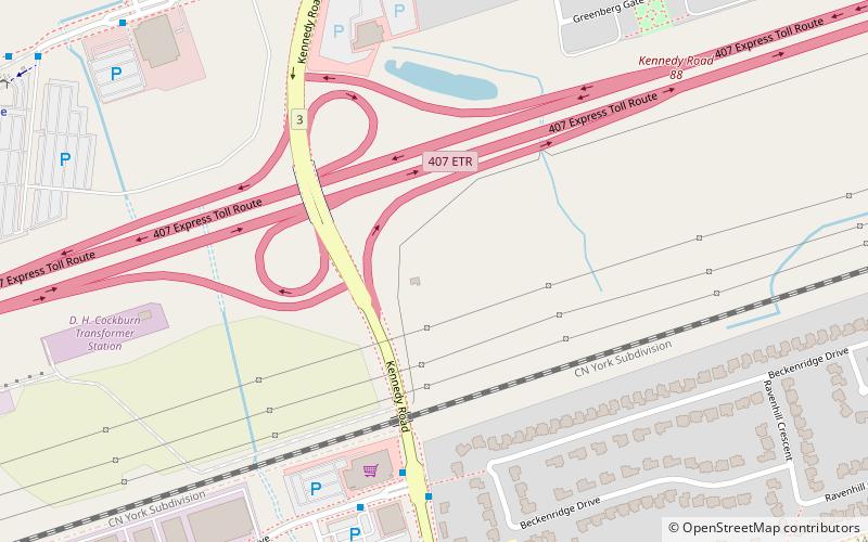
South Unionville is a neighbourhood located in, Markham, Ontario, Canada. It is bounded to the north by Regional Highway 7, south by 407, east by McCowan Road and west by Kennedy Road. The community is named after its geographical location near the south portion of the historic Unionville neighbourhood. ()
Address
Village Green - South UnionvilleMarkham
ContactAdd
Social media
Add
Day trips
South Unionville – popular in the area (distance from the attraction)
Nearby attractions include: Markville Shopping Centre, Varley Art Gallery, Unionville, Crystal Fountain Event Venue.
Frequently Asked Questions (FAQ)
How to get to South Unionville by public transport?
The nearest stations to South Unionville:
Bus
Train
Bus
- Highway 7 / Bullock Drive • Lines: 1, 304, Purple, Purple A (8 min walk)
- Highway 7 / Swansea Road • Lines: 1, 304 (10 min walk)
Train
- Centennial (24 min walk)
- Unionville (33 min walk)


