Hogg's Hollow Bridge, Toronto
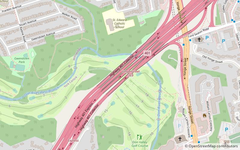
Map
Facts and practical information
Hoggs Hollow Bridge, originally known as the Yonge Boulevard Viaduct, is a set of four separate highway bridges that span the West Branch of the Don River Valley in Toronto, Ontario, Canada, and carries 14 lanes of Highway 401. The four structures are the busiest multi-span bridge crossing in North America, surpassing the Brooklyn Bridge. ()
Coordinates: 43°45'2"N, 79°24'46"W
Address
North York (Armour Heights)Toronto
ContactAdd
Social media
Add
Day trips
Hogg's Hollow Bridge – popular in the area (distance from the attraction)
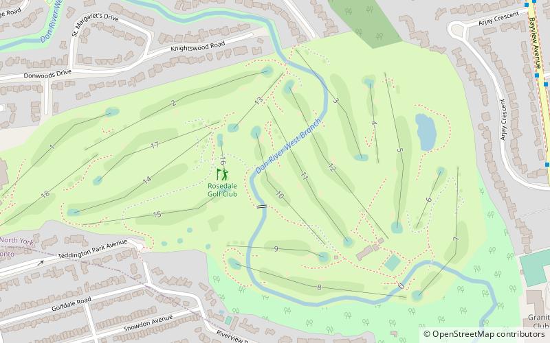
Nearby attractions include: Rosedale Golf Club, Meridian Arts Centre, Mel Lastman Square, York Cemetery.
Frequently Asked Questions (FAQ)
Which popular attractions are close to Hogg's Hollow Bridge?
Nearby attractions include York Mills Centre, Toronto (14 min walk), York Mills, Toronto (16 min walk), Hoggs Hollow, Toronto (21 min walk).
How to get to Hogg's Hollow Bridge by public transport?
The nearest stations to Hogg's Hollow Bridge:
Bus
Metro
Bus
- York Mills GO Bus Terminal (13 min walk)
- York Mills Station • Lines: 165, 96B (13 min walk)
Metro
- York Mills • Lines: 1 (14 min walk)
- Sheppard-Yonge • Lines: 1, 4 (20 min walk)
 Subway
 Streetcar system
 PATH
PATH