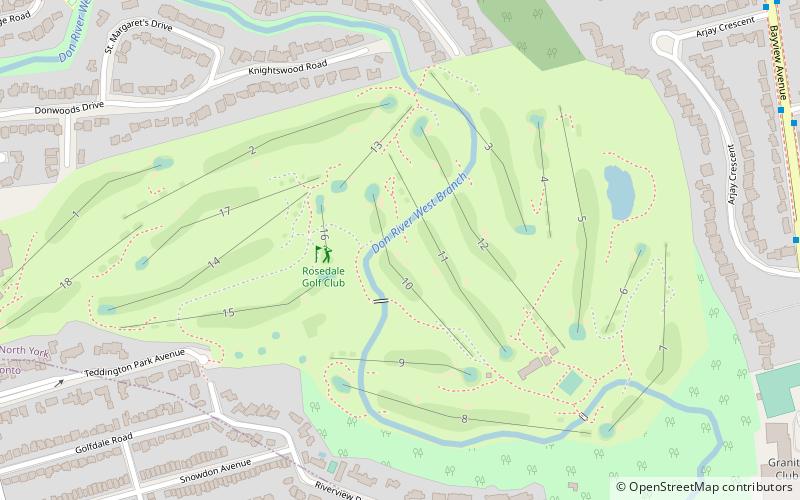
Rosedale Golf Club, Toronto
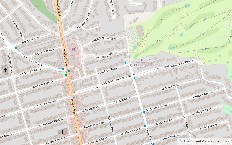
Map
Facts and practical information
Rosedale Golf Club is a private golf club in Toronto, founded in 1893 in Moore Park. The course hosted the Canadian Open in 1912 and 1928. ()
Coordinates: 43°44'11"N, 79°23'26"W
Address
Uptown (Teddington Park)Toronto
ContactAdd
Social media
Add
Getting there by public transportation
Public transportation stops near this location
- Metro
- Bus
 Metro
Metro
- Calculate routePost Road 11 min walk
- Calculate routeThe Bridle Path 12 min walk
- Calculate routeArjay Crescent 12 min walk
- Calculate route2350 Bayview Ave 13 min walk
- Calculate routeLawrence 24 min walk
- Calculate routeYork Mills 25 min walk
Maps SubwayMaps
 Streetcar systemMaps
 PATH
PATH
SubwayMapsStreetcar systemMapsPATHDay trips


Frequently Asked Questions (FAQ)
Which popular attractions are close to Rosedale Golf Club?
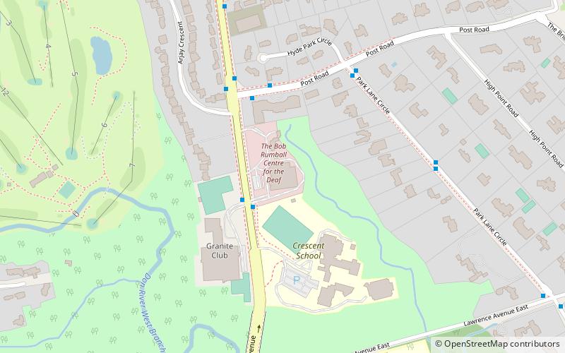
Nearby attractions include Wanless Park, Toronto (14 min walk), Evangelical United Chr of Deaf, Toronto (14 min walk), Teddington Park, Toronto (14 min walk), Bayview Bridge, Toronto (16 min walk).
How to get to Rosedale Golf Club by public transport?
The nearest stations to Rosedale Golf Club:
Bus
Metro
Bus
- Post Road • Lines: 11A (11 min walk)
- The Bridle Path • Lines: 11A (12 min walk)
Metro
- Lawrence • Lines: 1 (24 min walk)
- York Mills • Lines: 1 (25 min walk)