Westdale, Hamilton
Map
Map

Facts and practical information
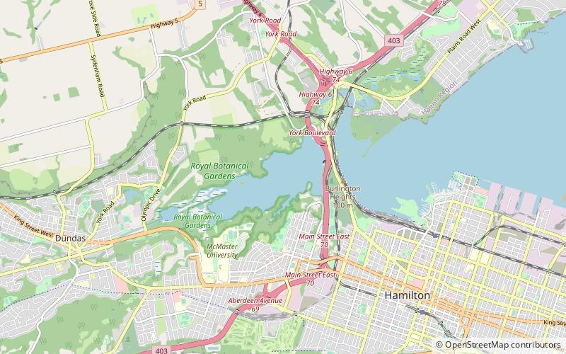
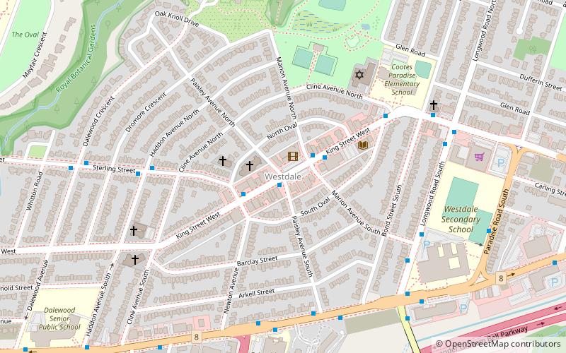
Westdale is a residential neighbourhood in Hamilton, Ontario, Canada. It is centred in the Westdale Village shopping district and located near McMaster University. It is bordered to the north by Cootes Paradise, an extensive nature reserve marking the western end of Lake Ontario, to the south by Main Street and Ainslie Wood, to the east by Highway 403, and to the west by McMaster University. ()
Coordinates: 43°15'43"N, 79°54'21"W
Address
Westdale SouthHamilton
ContactAdd
Social media
Add
Day trips
Westdale – popular in the area (distance from the attraction)
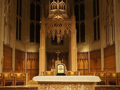
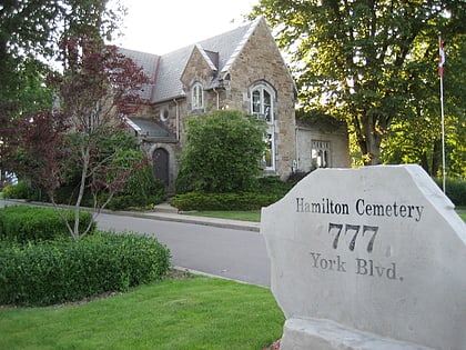
Nearby attractions include: Dundurn Castle, Cathedral Basilica of Christ the King, Hamilton Cemetery, Lower Beckett Falls.
Frequently Asked Questions (FAQ)
Which popular attractions are close to Westdale?
Nearby attractions include McMaster University Library, Hamilton (16 min walk), McMaster Museum of Art, Hamilton (16 min walk), McMaster Divinity College, Hamilton (16 min walk), McMaster University, Hamilton (17 min walk).
How to get to Westdale by public transport?
The nearest stations to Westdale:
Bus
Bus
- King at Paisley • Lines: 1A, 51, 5A (1 min walk)
- King at Marion • Lines: 1A, 51, 5A, 5C (2 min walk)


