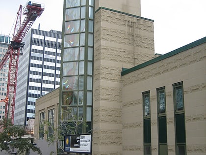
Our Saviour's Lutheran Church, Toronto
Map
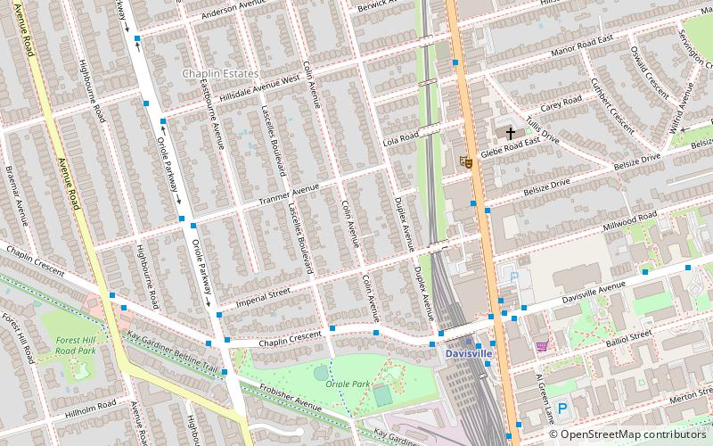
Map

Facts and practical information
Our Saviour's Lutheran Church is a Lutheran church located in Prince George, British Columbia. ()
Coordinates: 43°42'0"N, 79°24'0"W
Address
Uptown (Yonge and Eglinton)Toronto
ContactAdd
Social media
Add
Day trips
Our Saviour's Lutheran Church – popular in the area (distance from the attraction)
Nearby attractions include: Mount Pleasant Cemetery, Beltline Trail, Eglinton Theatre, Yonge-Eglinton Centre.
Frequently Asked Questions (FAQ)
Which popular attractions are close to Our Saviour's Lutheran Church?
Nearby attractions include Chaplin Estates, Toronto (1 min walk), Mysteriously Yours Mystery Dinner Theatre, Toronto (4 min walk), William McBrien Building, Toronto (6 min walk), Beltline Trail, Toronto (10 min walk).
How to get to Our Saviour's Lutheran Church by public transport?
The nearest stations to Our Saviour's Lutheran Church:
Metro
Bus
Tram
Metro
- Davisville • Lines: 1 (6 min walk)
- Eglinton • Lines: 1 (11 min walk)
Bus
- Davisville Station • Lines: 11A, 11C (6 min walk)
- Yonge Street • Lines: 11A, 11C (6 min walk)
Tram
- Yonge Street • Lines: 512 (23 min walk)
- Deer Park • Lines: 512 (23 min walk)

 Subway
 Streetcar system
 PATH
PATH