Liberty Village, Toronto
Map

Gallery
Facts and practical information
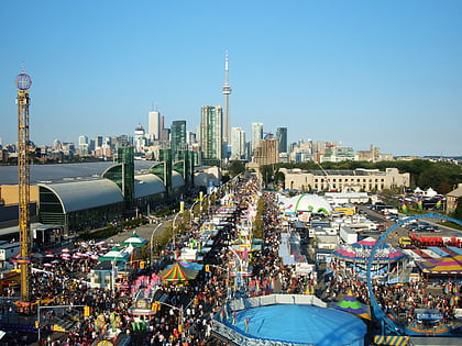
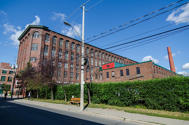
Liberty Village is a neighbourhood in Toronto, Ontario, Canada. It is bordered to the north by King Street West, to the west by Dufferin Street, to the south by the Gardiner Expressway, to the east by Strachan Avenue, and to the northeast by the CP railway tracks. ()
Coordinates: 43°38'13"N, 79°25'19"W
Address
West End (Liberty Village)Toronto
ContactAdd
Social media
Add
Day trips
Liberty Village – popular in the area (distance from the attraction)
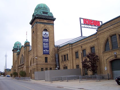
Nearby attractions include: Exhibition Place, Lamport Stadium, BMO Field, Ricoh Coliseum.
Frequently Asked Questions (FAQ)
Which popular attractions are close to Liberty Village?
Nearby attractions include Lamport Stadium, Toronto (4 min walk), Dufferin Street bridges, Toronto (7 min walk), Queen Elizabeth Theatre, Toronto (8 min walk), BMO Field, Toronto (8 min walk).
How to get to Liberty Village by public transport?
The nearest stations to Liberty Village:
Bus
Train
Tram
Bus
- Atlantic Avenue • Lines: 63 (4 min walk)
- King Street West • Lines: 63, 63A, 63B (6 min walk)
Train
- Exhibition (5 min walk)
Tram
- Joe Shuster Way • Lines: 504A, 504B (6 min walk)
- Jefferson Avenue • Lines: 504A, 504B (6 min walk)

 Subway
 Streetcar system
 PATH
PATH