Aspen Woods, Calgary
Map

Map

Facts and practical information
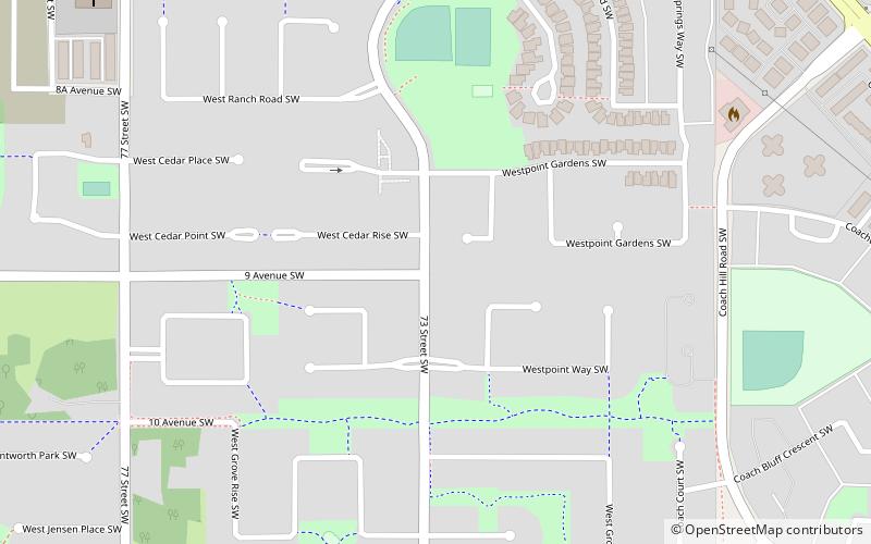
Aspen Woods is a residential neighbourhood in the southwest quadrant of Calgary, Alberta, consisting mostly of acreages and single-family detached homes. ()
Coordinates: 51°2'36"N, 114°11'36"W
Day trips
Aspen Woods – popular in the area (distance from the attraction)
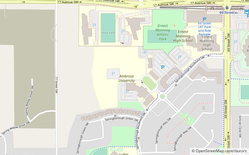
Nearby attractions include: Ambrose University, SCA Community Association, West Springs, Calgary-West.
Frequently Asked Questions (FAQ)
Which popular attractions are close to Aspen Woods?
Nearby attractions include Ambrose University, Calgary (16 min walk), SCA Community Association, Calgary (17 min walk), Springbank Hill, Calgary (23 min walk).
How to get to Aspen Woods by public transport?
The nearest stations to Aspen Woods:
Light rail
Bus
Light rail
- 69 Street • Lines: 202 (13 min walk)
- Sirocco • Lines: 202 (29 min walk)
Bus
- 69 Street (13 min walk)


