Calgary-West, Calgary
Map
Facts and practical information
Calgary-West is a provincial electoral district for the Legislative Assembly of Alberta, Canada. ()
Coordinates: 51°1'48"N, 114°11'24"W
Address
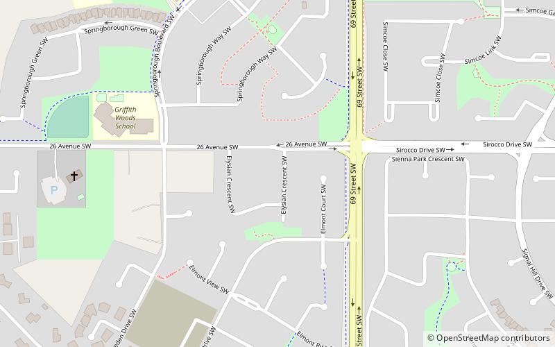
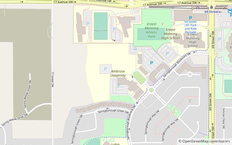
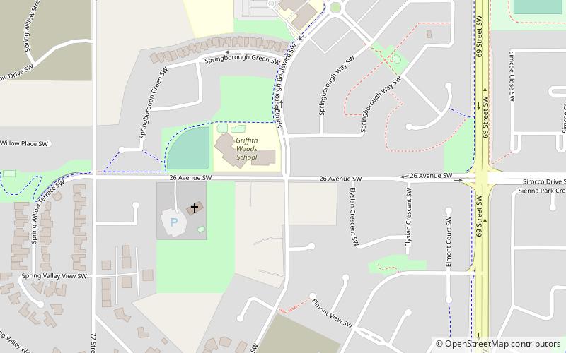
Southwest Calgary (Springbank Hill)Calgary
ContactAdd
Social media
Add
Getting there by public transportation
Public transportation stops near this location
- Bus
- Light rail
 Bus
Bus
- Calculate route69 Street 14 min walk
- Calculate routeSirocco 28 min walk
- Calculate route69 Street 14 min walk
Day trips


Frequently Asked Questions (FAQ)
Which popular attractions are close to Calgary-West?
Nearby attractions include Springbank Hill, Calgary (5 min walk), Ambrose University, Calgary (10 min walk).
How to get to Calgary-West by public transport?
The nearest stations to Calgary-West:
Light rail
Bus
Light rail
- 69 Street • Lines: 202 (14 min walk)
- Sirocco • Lines: 202 (28 min walk)
Bus
- 69 Street (14 min walk)