Springbank Hill, Calgary
Map
Facts and practical information
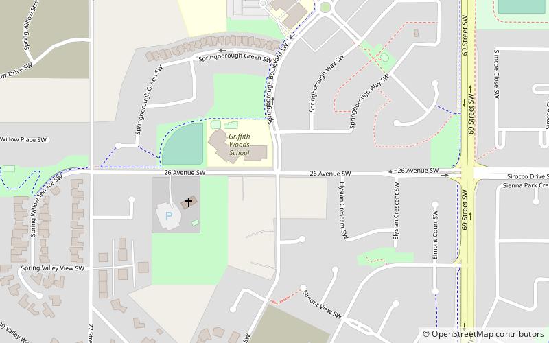
Springbank Hill is a large and diverse suburb near the western city limit of Calgary, Alberta in the southwest quadrant. It is bounded to the north by 17 Avenue SW, to the south by Stoney Trail, to the east by 69 Street SW and to the west by 101 Street SW. ()
Coordinates: 51°1'50"N, 114°11'37"W
Getting there by public transportation
Public transportation stops near this location
- Bus
- Light rail
 Bus
Bus
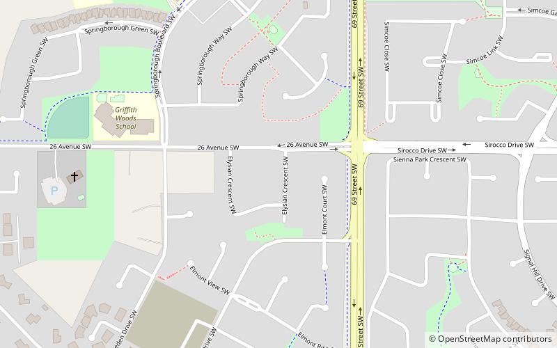
- Calculate route69 Street 15 min walk
- Calculate routeSirocco 31 min walk
- Calculate route69 Street 15 min walk
Day trips


Frequently Asked Questions (FAQ)
Which popular attractions are close to Springbank Hill?
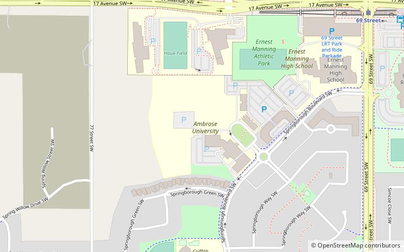
Nearby attractions include Calgary-West, Calgary (5 min walk), Ambrose University, Calgary (8 min walk), Aspen Woods, Calgary (23 min walk).
How to get to Springbank Hill by public transport?
The nearest stations to Springbank Hill:
Light rail
Bus
Light rail
- 69 Street • Lines: 202 (15 min walk)
- Sirocco • Lines: 202 (31 min walk)
Bus
- 69 Street (15 min walk)