Tremor Mountain, Garibaldi Provincial Park


Facts and practical information
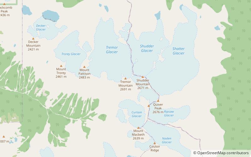
Tremor Mountain is a prominent 2,691-metre summit located in the Garibaldi Ranges of the Coast Mountains, in Garibaldi Provincial Park of southwestern British Columbia, Canada. It is the highest point of the Spearhead Range, which is a subset of the Garibaldi Ranges. It is situated 13 km southeast of Whistler, and 8.7 km south of Wedge Mountain, its nearest higher peak. Precipitation runoff from the south side of the peak as well as meltwater from the Platform Glacier drains into Fitzsimmons Creek which is a tributary of the Cheakamus River. Meltwater from the Tremor Glacier on the northwestern slope drains to Wedge Creek, and meltwater from the Shudder Glacier on the northeast slope drains into Billygoat Creek, a tributary of the Lillooet River. Tremor Mountain is often climbed as part of the Spearhead Traverse. The first ascent of the mountain was made in 1928 by A.J. Campbell Garibaldi survey party. The mountain's name origin refers to unexplained earth tremors when the first ascent party was on the summit. The mountain's name was officially adopted on September 6, 1951, by the Geographical Names Board of Canada. ()
Garibaldi Provincial Park
Tremor Mountain – popular in the area (distance from the attraction)
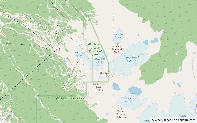
Nearby attractions include: Blackcomb Peak, Flute Summit, Overlord Mountain, Decker Mountain.


